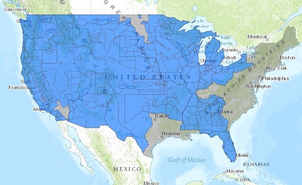
This interactive map, produced by University of Georgia historian Claudio Saunt to accompany his new book West of the Revolution: An Uncommon History of 1776, offers a time-lapse vision of the transfer of Indian land between 1776 and 1887. As blue “Indian homelands” disappear, small red areas appear, indicating the establishment of reservations (above is a static image of the map; visit the map’s page to play with its features).
Source: www.slate.com
In the past I’ve shared maps that show the historic expansion of the United States–a temporal and spatial visualization of Manifest Destiny. The difference with this interactive is that the narrative focuses on the declining territory controlled by Native Americans instead of the growth of the United States. That may seem a minor detail, but how history is told shapes our perception of events, identities and places.
Tags: USA, historical, mapping, visualization.


Leave a comment