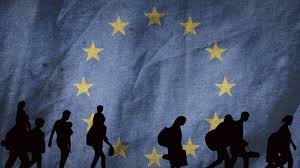
“A decade of migration through the eyes of a German city. Ten years ago Germany opened its borders to more than a million people at the height of Europe’s so-called migrant crisis. A decade later, that warm welcome has cooled as issues of culture, integration and national identity spark fierce debate across the continent. With German elections just days away, the BBC has revisited one migrant family and the city they landed in, to see how life has changed since 2015 – and what their experience says about the way Europeans now view migration. On this episode, Jonny Dymond is joined by the BBC’s Berlin correspondent Jess Parker, and Mark Lowen, the BBC’s former southern Europe correspondent who covered the refugee crisis for years.” SOURCE: BBC World Service podcast, also available on Podbay.
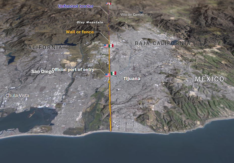
This episode of The Global Story explores the growing political tension across Europe over migration. It highlights how countries such as Germany, Italy, and Hungary experience migration differently depending on location, border access, economic strength, and political climate. Southern European states serve as frontline entry points for migrants crossing the Mediterranean from North Africa and the Middle East, while northern and western countries often become destination regions due to stronger economies and labor markets. This creates uneven social and political pressures within the European Union. The topic connects directly to regional geography themes such as spatial distribution, core and periphery dynamics, political boundaries, demographic change, and globalization. It also links to the Americas. Migration pressures in Middle America and South America, and border debates in the United States, reflect similar geographic patterns where proximity, economic opportunity, and political policy shape flows of people. This resource fits well into our study of North, Middle, and South America and Europe because it shows how migration is shaped by location, economic disparity, and geopolitical relationships rather than occurring randomly.
Questions to Ponder:
- How does Europe’s physical geography, especially coastlines and border proximity,
shape migration routes? - Why do wealthier northern European countries often experience migration
differently than southern entry-point states? - How do migration debates in Europe compare to border and migration issues in the
Americas? - In what ways do political borders both restrict and encourage the movement of
people?