I’m deeply fascinated by the Sahara, but since most of my focus in academic geography is on human geography and the settled portions of the planet, this often goes unaddressed even though it explains much about the world we live in. The main landforms of the desert are dunes (ergs), desert pavement (regs), and mountains that rise above the windswept features of ergs and regs. As it’s so inhospitable, it’s hard to imagine that is was that prior to 5,000 years ago the Sahara was more like a savanna with more life (Axial tilt shifts, and other climatic factors shaped this).
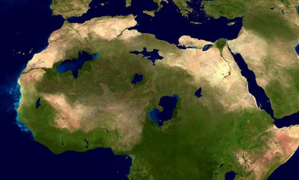
Prior to the Sahara as we know it today, the area occupied by dunes now is often in old lake beds because sand (like water) settles into basins. The mountains today bear witness of larger human settlements with art like cave drawings preserved in the high mountain plateaus. The largest lake today, Lake Chad, is a small remnant of what once was, now called Lake Mega Chad…no, I’m not kidding. Like the Great Salt Lake is a remnant of a much larger Lake Bonneville, and still prone to changes, Lake Chad has continued to dry up, losing over 90% of it’s surface area since the 1950.
Tags: Africa, physical, geomorphology, landforms, landscape.