Here are some of the interactive StoryMaps that I’ve created using ArcGIS online. My favorite ways to improve the maps are to add hyperlinks in the text boxes and add a custom banner (StoryMap Hyperlinking Code Instructions here).
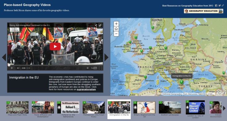
Map#1:Place-based Geography Videos
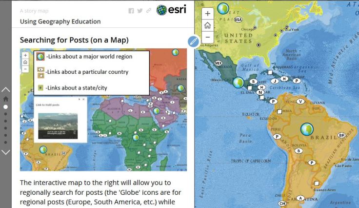
Map #2: This story map http://bit.ly/13TTFvA was created to guide users on how to get the most out of the Geography Education websites.
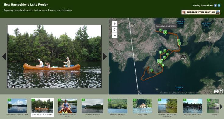
Map #3: Enjoying New Hampshire
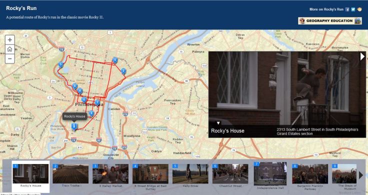
Map #4: Rocky’s Run
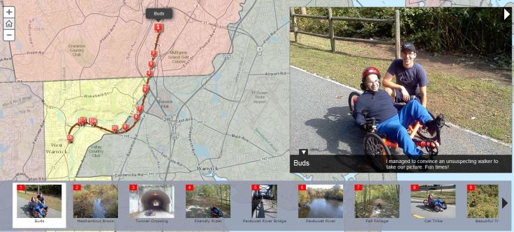
Map #5: Mark’s Adventure
Map #6: Civil War Walk Tour, part of the North Burial Ground Project. 

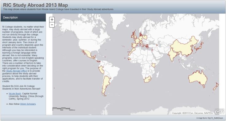
Map #7: Rhode Island College Study Abroad (Instructions on how to create a Basic WebApp like this one).
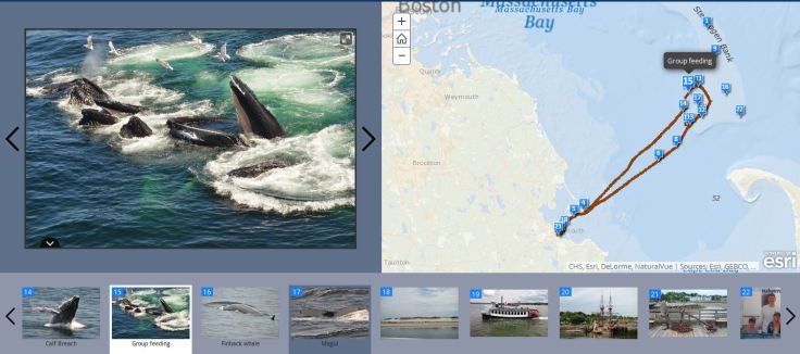
Map #8: Whale Watching Tour off the coast of Cape Cod.
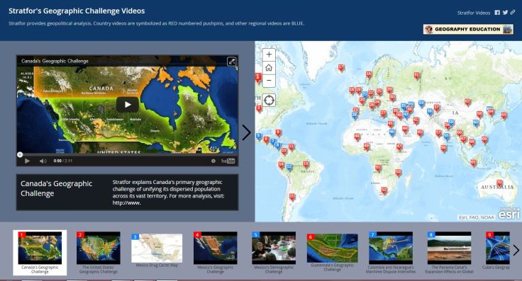
Map #9: Stratfor Videos in the Geographic Challenges series
Map #10: Still under construction…but here is a map of U.S. embassies around the world. The data is still incomplete and filled with errors though. More maps are forthcoming.


Leave a comment