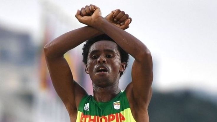
Feyisa Lilesa crosses his arms as he wins a silver medal – a gesture used by his Oromo people at home to protest against the government.
Source: www.bbc.com
The Olympics can bring to interesting cultural and political issues to a larger international audience. The Oromo people in Ethiopia are off our collective radar, but this marathoner made the world pay attention and start to ask questions about a part of the world that rarely gets global attention. Some other examples of how you can link students’ interest in the Olympics to expand their understanding about the world include:
- The protest of Iran’s gendered spaces
- The Egyptian/Israeli non-handshake.
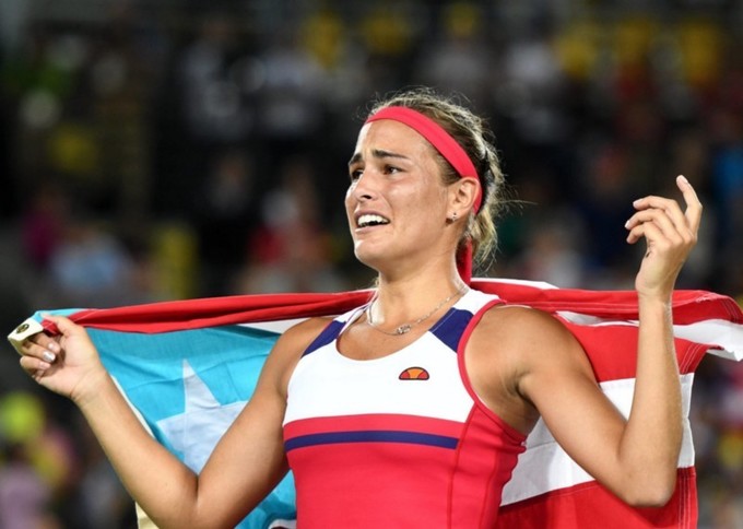
- Puerto Rico’s nationalism and political ties to the US.
What was your favorite ‘teaching moment’ from the Olympics?