Search

GEOGRAPHY EDUCATION

Supporting geography educators everywhere with current digital resources.

Category

Scoop.it

Hijab: Veiled in Controversy

Hijab is an Islamic concept of modesty and privacy, most notably expressed in women’s clothing that covers most of the body.

Source: www.nationalgeographic.org

What is the geography of the hijab?  Covering one’s head pre-dates Islam in the Middle East but many associate this practice strictly with Islam and only for women. Read this article (with teaching tips and supplemental resources) for more context on this cultural and religious practice.

Tags: Islam, perspective, religion, culture, National Geographic.

U.S.G.S. Topographical Maps

Think of them not as cartographic abstractions, but as incredibly affordable Pollocks.

Source: www.nytimes.com

Good cartography lies at the intersection of rigorous scientific data display and a aesthetic touch of beauty.  This article is an ode to the beauty of USGS topographic maps as affordable pieces of art.  Geography students that start their own mapping projects need to recognize that good cartographic work often needs to be both an art and a science to fit the needs of their intended audience. 


Tags: cartography, visualization, mapping, artgeo-inspiration.

America’s Empty-Church Problem

The culture war over religious morality has faded; in its place is something much worse.


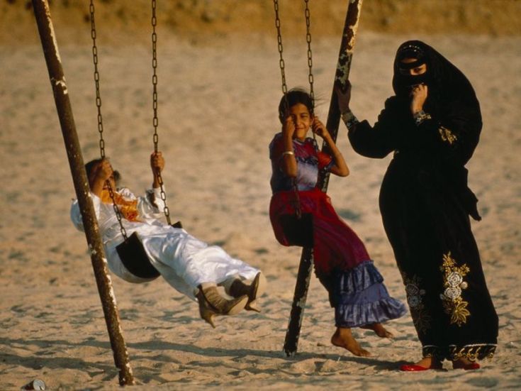
In his book Twilight of the Elites, the MSNBC host Chris Hayes divides American politics between “institutionalists,” who believe in preserving and adapting the political and economic system, and “insurrectionists,” who believe it’s rotten to the core. The 2016 election represents an extraordinary shift in power from the former to the latter. The loss of manufacturing jobs has made Americans more insurrectionist. So have the Iraq War, the financial crisis, and a black president’s inability to stop the police from killing unarmed African Americans. And so has disengagement from organized religion.

Source: www.theatlantic.com

Forgive the inflammatory title and the partisan source of this article if those are things that would worry you.  This discussion of how secularization is (and is not) changing the nature of American politics gives people much to consider–no matter where you fit on any political or religious spectrum. 


Tagsop-ed, religion, culture, political, USA.

Death toll doubles in Ethiopia garbage dump collapse

“The death toll from a collapse at a landfill outside Ethiopia’s capital has risen sharply to 113, an Addis Ababa city official said Wednesday, as the country began three days of mourning for victims who were mostly women and children. Saturday’s collapse of a mountain of garbage buried makeshift mud-and-stick homes inside the Koshe landfill on the outskirts of the capital.”

Source: www.cbsnews.com

Some geographies are uncomfortable to discuss because they expose some of the social and spatial inequalities that we wish weren’t part of economic geographies.


Questions to Ponder: Why did this happen?  Why were so many people in the landfill?  


Tags: Ethiopia, Africa, development, urbanpoverty, squatter.

Flat Earth Theory

Source: www.youtube.com

I think we all need a laugh sometimes.  Flat earth videos are incredibly entertaining.  


DISCLAIMER THAT I WISH I DIDN’T HAVE TO MAKE: I don’t believe in the flat Earth theory and think that this video is total jibberish; but it is delightfully inaccurate!  This is a good way to get students to think critically about epistemology (how we know what we know) and defend their own world view.  This also helps students to assess the validity of online sources


Tagsfun, mapping, social media.

C3 Framework: Implications for Geography Instruction

The C3 Framework for Social Studies State Standards is a powerful guide to help each state strengthen instruction in the social studies by establishing fewer, clearer, and higher standards for instruction in civics, economics, geography, and history, kindergarten through high school.


Tagseducation, geography, geography education.

Source: www.youtube.com

50% of the Canadian population lives in these counties

“I was inspired by 50% of the U.S. lives in these counties. map. I was wondering what the equivalent map for Canada would look like. I couldn’t find one, so I created my own.”

Source: www.reddit.com

During the U.S. presidential election much was made about the differences between rural and urban regions of the United States.  Clearly the United States isn’t the only North American country that has a highly clustered population distribution. 


Question to Ponder: How does this basic demographic reality impact Canadian politics, policies, infrastucture, culture, etc.?


TagsCanadamap, North America, population, density.

The Geography Teacher’s Introduction to OpenStreetMap

“Wed, Mar 15, 2017 8:00 PM – 9:00 PM EDT, the NCGE will be offering a free webinar for educators on the OpenStreetMap project and how you can incorporate it into your class.”

Source: attendee.gotowebinar.com

My students and I join OpenStreetMap (OSM) projects, especially when there is a major humanitarian need…it’s a great way to make service learning and geospatial technologies come together. If you are interested learning more about OSM projects for the classroom, sign up for this NCGE webinar seminar as soon as possible, since this event is right around the corner (the webinar program is one of the many great reasons to become a member of NCGE). 


TagsNCGE, mappingedtech, cartography, geospatial, disasters, STEM.


Why China is building islands in the South China Sea

“China is building islands in the South China sea and its causing disputes among the other nations in the region; Malaysia, the Philippines, Brunei, Vietnam, and Indonesia. China claims they aren’t military bases, but their actions say otherwise. The US has many allies in the region and uses its massive Navy to patrol international waters, keeping shipping lanes open for trade.”

Source: www.youtube.com

Last year this was an intriguing story but now the geopolitical drama is growing as more countries are literally building islands out of reef outcroppings to strengthen their claims to the South China Sea.  For some without geographic expertise, this might some baffling.  For those that understand Exclusive Economic Zones, maritime claims, and expanding geopolitical aspirations, this makes perfect sense. 


Tags: borders, political, conflict, waterChina, East Asia.

Create a free website or blog at WordPress.com.

Up ↑