A new and potentially more revealing way of studying how animal evolution is affected by the geography of climate has been designed by researchers at The University of Nottingham and Harvard University.
Source: www.heritagedaily.com
A new and potentially more revealing way of studying how animal evolution is affected by the geography of climate has been designed by researchers at The University of Nottingham and Harvard University.
Source: www.heritagedaily.com
“
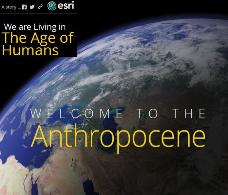
Earth is changing rapidly, and an increasing number of scientists say that humans have become the dominant force driving these changes. While the term has no formal definition, many agree that we are now living in an age shaped by human activity: the Anthropocene.
Evidence for the Anthropocene ranges from worldwide population booms to the expansive transformation of the landscape. But solutions are cropping up at the local level that could help create a more resilient global community.”
Source: www.smithsonianmag.com
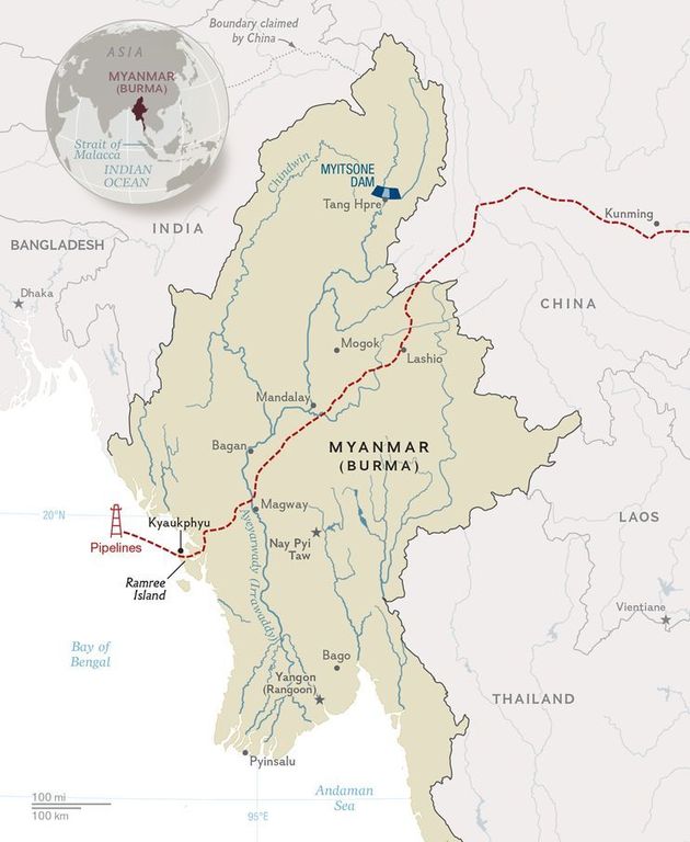
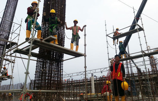
In western Myanmar a Chinese-backed energy and trading hub is taking shape on a remote island.
Source: news.nationalgeographic.com
Ninety percent of Tibetans share a genetic mutation that prevents their blood from becoming dangerously clogged with red blood cells at high altitudes—a response that can be deadly for non-native mountaineers. Karen Hopkin reports.
Source: www.scientificamerican.com
Genetic adaptations to a specific environment show how people are can be culturally and environmentally tied to a given land. While most geographers are nervous to mention examples such as these for fear of being labeled too ‘environmentally deterministic,’ it does not hurt to show how that it is possible.
In this interview with a geographer, Emily White tells us it’s more than state capitals and shares how math can help kids and parents map and explore the world.
Source: bedtimemath.org
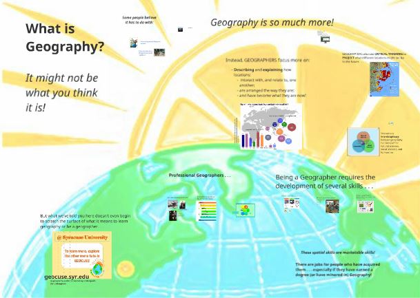
There are plenty of reasons why it is great to be a geographer–a geographer is often a great member of an interdisciplinary research team.
How lopsided the the proportions of an urban street corner really are.
Most roads in the US are built for cars, not for pedestrians. Whether we’re happy or unhappy with this, most of us are aware of it.
But this brilliant illustration, made by Swedish artist Karl Jilg and commissioned by the Swedish Road Administration, shows just how extreme the situation truly is — even in an urban business district that’s designed with pedestrians in mind.
Tags: urban, transportation, planning, art.
Source: www.vox.com
Source: arcgis.mla.org
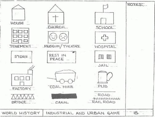
“Each student should have a large piece of butcher block paper (15×20). They should use a pencil for this activity (color pencils are optional).Using the template provided, each student should make their own template. It is crucial that size for each of the ‘characters’ in the city be the same. As you read each of the Rounds, your pace should increase so that by Round 15 the students will only have a short time to draw their buildings.”
Source: www.thecaveonline.com
In this game, you simulate the industrial revolution and have your students design a village that, after 20 rounds of the simulation, will grow to a full-fledged city. Various teachers have adapted the rules for this game and here are some variants that are saved as a standard webpage, Microsoft Word file, PDF, Powerpoint and Prezi formats.