Learn world geography the easy way! Seterra is a map quiz game, available online and as an app for iOS an Android. Using Seterra, you can quickly learn to locate countries, capitals, cities, rivers lakes and much more on a map.
Source: www.seterra.com
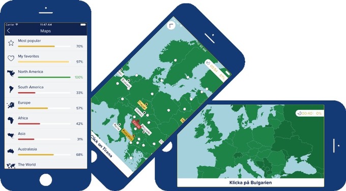
This is my newest favorite app to recommend for teachers. If you need students to learn where in the world things are without having to take up class time with map quizzes and the like, this app is great. It has basic "countries and capitals" quizzes for world regions, but it also has some more difficult quizzes for the those that need/want a challenge.