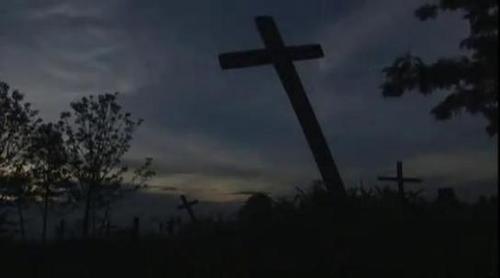
This chilling documentary outlines the historical genocide of Tutsi people predominantly by Hutu’s in Rwanda during 1994. So often, students who have always lived within a society with effective political institutions are unable to see how such atrocities could even happen. This video lays the groundwork for understanding the disintegration of political institution within Rwanda, reasons the international community underestimated the threat, why the UN in 1994 (after Somalia) was not prepared to use forceful action and why westerners fled. In this state of lawlessness, the cultural tensions and colonial legacy lead to horrific killings. This genocide has no one reason, but a complex set of geographic contexts. This would be a powerful video to show students. WARNING: considering the content, there are necessarily depictions of death. To learn more about the documentary, see: http://www.pbs.org/wgbh/pages/frontline/shows/ghosts/
Via Scoop.it – Geography Education
Farmers Fight is a student-led initiative to reconnect American society to the world of agriculture. Beginning with university students, Farmers Fight encour…
This video makes several important points about agricultural production within our modernized world, things that often go unnoticed and taken for granted. Food for thought.
Via Scoop.it – Geography Education

Along the coast, communities have largely bounced back from the recession, but inland areas are still struggling with high unemployment and a persistent housing crisis.
For those that have lived in California, northern California and southern California are oftentimes how people conceptually regionalize the state, and rightfully so based on cultural patterns. Economically the more useful distinct might be coastal vs. interior. “Many counties along the state’s western coastline have median household incomes well above some inland communities like Sacramento, Fresno and Riverside. The Bay Area counties of Marin, San Mateo and San Francisco have the state’s lowest jobless rates, while nearby inland counties like Merced and San Benito have among the highest. San Bernardino and Riverside Counties, with their many vacant homes, and parts of the Central Valley near Sacramento have among the highest foreclosure rates.”
Via Scoop.it – Geography Education

This is a fabulous collection of geospatial resources to “explore the world, one map at a time.” There are high-resolution digital wall maps, animated fly-over maps, thematic census data maps, aerial photography and other mapping tools. The focus of many of these resources is the Western portion of the United States, but there are many on the national scale as well (see the ‘Electronic Map Library’ and select ‘Unites States Atlas’ for census maps on dozens of variables).
Via Scoop.it – Geography Education

The resources tab of the National Council for Social Studies (NCSS) webpage is a treasure trove of lesson plan materials for teachers. This particular link focuses on War and Terrorism, and provides resources to help teachers to educate their classes about the emerging geopolitical landscape. This is a set of over 30 lesson plans, articles, maps and resources that focus on the U.S. war in Iraq, terrorism, and other military incursions in the Middle East. Collectively they give geographic perspective on current events so students can understand more about the places in the world that they hear about in the news.
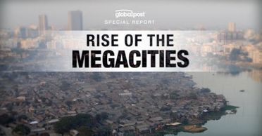
A five-part, multimedia series on the coming dystopia that is urbanization.
This is a great introduction to the explosion of the slums within megacities. This video at the bottom of this article is especially useful.
Via Scoop.it – Geography Education

A few years ago, at a highway safety conference in Savannah, Ga., I drifted into a conference room where a sign told me a “Pedestrian Safety” panel was being held.
This 4-part series on walking is more than a nostalgic look at an era when more people walked in our cities than used automobiles. While all countries have seen a decline in pedestrianism with the advent of the automobile, this decline is the most pronounced in the USA. It answers the underlying question “why don’t Americans walk more?” In part there are cultural factors, but also the urban infrastructure plays a role in declining pedestrianism. Many urbanists want to design more ‘walkable’ cities, but places like Jacksonville, FL, Charlotte, NC, Forth Worth, TX and Nashville, TN ranks as the least walkable cities in the country (NYC, San Francisco, Boston, Chicago and Philadelphia are ranked as the best).
Via Scoop.it – Geography Education

Sometimes a single unlikely idea can have massive impact across the world. Sir Harold Evans, the author of They Made America, describes how frustration drove…
The economies of scale that globalization depends on, relies on logistics and transportation networks that can handle this high-volume. In a word, the container, as mundane as it may seem, faciliated the era within which we live today.
Via Scoop.it – Geography Education
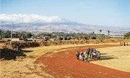
What do Kenenisa Bekele, Tirunesh Dibaba, Derartu Tulu and Fatuma Roba have in common, apart from being Olympic gold medallists?
What is it about this place that has produced so many great world-class runners?




