“GeoInquiries are designed to be fast and easy-to-use instructional resources that incorporate advanced web mapping technology. Each 15-minute activity in a collection is intended to be presented by the instructor from a single computer/projector classroom arrangement. No installation, fees, or logins are necessary to use these materials and software.
The Elementary, Grade 4 GeoInquiry collection is under-development.“
Source: edcommunity.esri.com
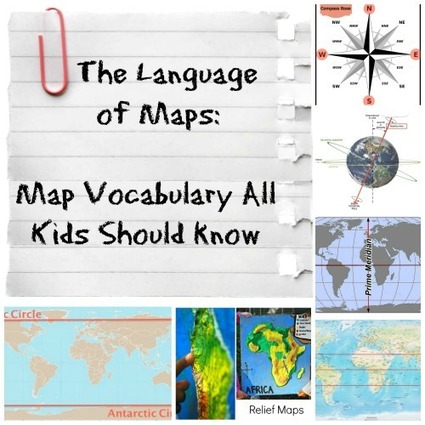
ESRI has produced GeoInquires for Earth Science, US History, Environmental Science, AP Human Geography, and has just recently released an interdisciplinary set of GeoInquiries designed for fourth graders. These include:
- Biomes and ecosystems
- Time zones
- Street maps
- Settlement patterns: people and water
- Exploring Elevation with Lewis and Clark
- Discovering map scale
- Where does the water go? (watersheds)
- Climate
- Seismic events: natural hazards
- Mississippi River exploration
- Expansion of the United States
- Public lands and national parks
- Weather forecasting
- Energy production
- Natural resources and regions
Tags: mapping, geospatial, ESRI, K12, edtech.