Via Scoop.it – Geography Education
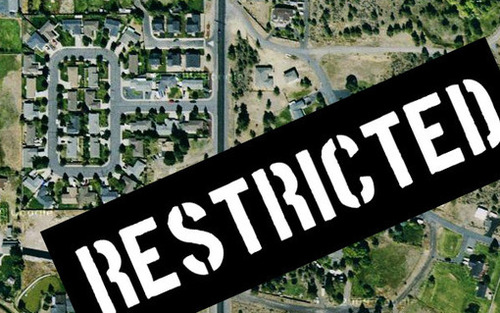
Google maps brings the world to your desktop – well, most of it, anyway. Here are 10 locations that governments and other entities have blurred or removed from satellite photos.
A user of geospatial technologies is not free to explore all places of the Earth with equal levels of specificity. Why? Where? How come?


Leave a comment