
Seth Dixon, Ph.D.‘s insight:
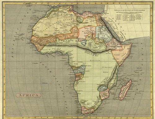
This fabulous collection of African maps from 1535-1897 represents an historical geographic vision of both Africa and colonial vision of Africa. I chose this particular map to display because it beautifully highlights the Mountains of Kong. For generations, European cartographers erroneously believed that this long mountain range extended north of the West African coast and across the continent. Currently this map collection is at Plymouth State, NH, but much of it is archive online here.
Tags: Africa, cartography, colonialism, map.
See on sites.google.com


Leave a comment