
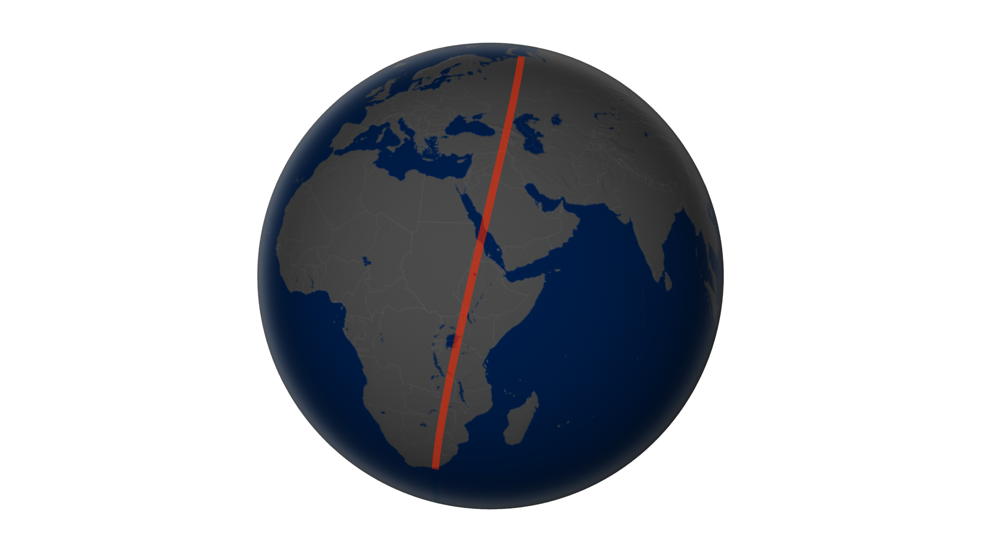
“The Landsat’s natural-color imager scanned a swath of land 185-kilometers wide and 9,000 kilometers long (120 by 6,000 miles)—an unusual, unbroken distance considering 70 percent of Earth is covered with water. That flight path—depicted on the globe below—afforded us the chance to assemble 56 still images into a seamless, flyover view of what LDCM saw on April 19, 2013. Stretching from northern Russia to South Africa, the full mosaic from the Operational Land Imager can be viewed in this video.”
We typically see remotely sensed images as a single, still rectangular grid…this stunning video shows what the image collection process would look like from the perspective of the satellite. This video is available to download in a variety of formats and resolutions.
Tags: remote sensing, geospatial, unit 1 GeoPrinciples.
See on www.youtube.com


Leave a comment