
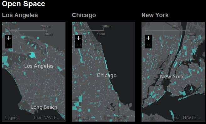
The Urban Observatory city comparison app enables you to explore the living fabric of great cities by browsing a variety of cities and themes.
Yesterday at the ESRI User Conference, the Urban Observatory was unveiled. The physical display contained images from cities around the world to compare and contrast diverse urban environments. The online version of this was announced during in a 10 minute talk by Jack Dangermond and Hugh Keegan. This interactive mapping platform let’s users access ‘big data’ and have it rendered in thematic maps. These maps cover population patterns, transportation networks, and weather systems. This is a must see. Read Forbes’ article on the release of Urban Observatory here.
Tags: transportation, urban, GIS, geospatial, ESRI.
See on www.urbanobservatory.com


Leave a comment