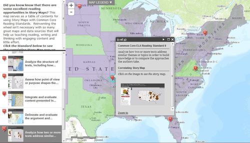
“Did you know know that there are some excellent reading opportunities in Story Maps? This map serves as a table of contents for using Story Maps with Common Core Reading Standards. Reinventing the wheel isn’t necessary with so many great maps and data sources that will help us teaching reading, writing and thinking with engaging content and little effort.”
Seth Dixon‘s insight:
The recently revised Geography for Life standards have been aligned to show how geographic skills can be taught within the Common Core framework. The National Geographic Society, in cooperation with the National Council for Geographic Education and the Network of Alliances for Geographic Education created Connections to be that link (for grade specific Common Core/Geography resources click here).
So how is this to be done? This storymap shows ten great examples of maps that can be used as reading documents, one for each of the 10 ELA Reading Standards.
Tags: mapping, English, GIS, ESRI, geography education, geospatial, edtech.
See on www.barbareeduke.com


Leave a comment