
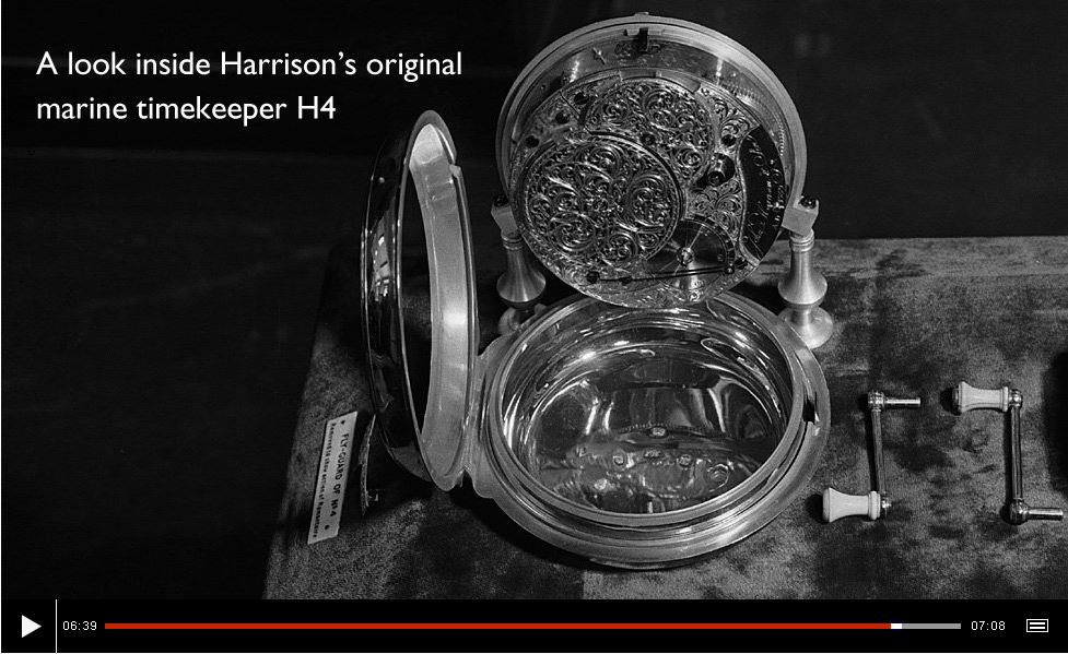
Today we take it for granted that through GPS technology we can instantaneously determine our latitude and longitude. This video documents how for centuries it was fairly easy to determine latitude at sea by measuring the height of the sun in the sky, but longitude (determined by the difference in time between local noon and the noon of a fixed point) could only be estimated. The British Empire saw solving the “longitude problem” as the key to solidifying their economic dominance at sea and they established the Board of Longitude in this 18th century “race to the moon.” Today the University of Cambridge has digitized the Board of Longitude’s archives with a series of five shorter video clips.
Tags: mapping, GPS, historical, cartography, geospatial.
See on www.bbc.co.uk


Leave a comment