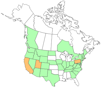
Create a color-coded Visited States Map, showing off your road travel in the United States and Canada.
Seth Dixon‘s insight:
See on www.defocus.net
Create a color-coded Visited States Map, showing off your road travel in the United States and Canada.
See on www.defocus.net


Leave a comment