Seth Dixon‘s insight:
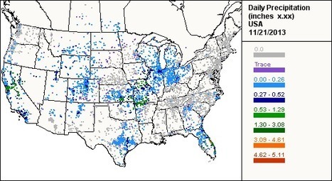
In New Hampshire they are doing great work to make mapping data useful in the classroom. This site is one that they use to show how students can map locally relevant data from an online data set. CoCoRaHS (Community Collaborative Rain, Hail & Snow Network) is a crowd-sourced network that gathers North American precipitation data. The data (especially the total precipitation summary) can be easily copied into as spread sheet and saved as a CSV file (which can be uploaded to ArcGIS online).
Tags: mapping, CSV, water, GIS, ESRI, geography education, geospatial, edtech.
See on www.cocorahs.org


Leave a comment