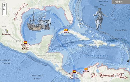
Explore the travels and exploits of five real pirates of the Caribbean. Click through the tabs to track the adventures of each pirate overlaid on Spanish ports and pirate strongholds in the area. Zoom into the map to see additional detail.
Seth Dixon‘s insight:
This interactive StoryMap is great way to show the historical and geographic context of colonial-era piracy in the Caribbean.
Tags: Middle America, ESRI, mapping, historical.
See on mediamaps.esri.com


Leave a comment