
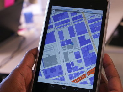
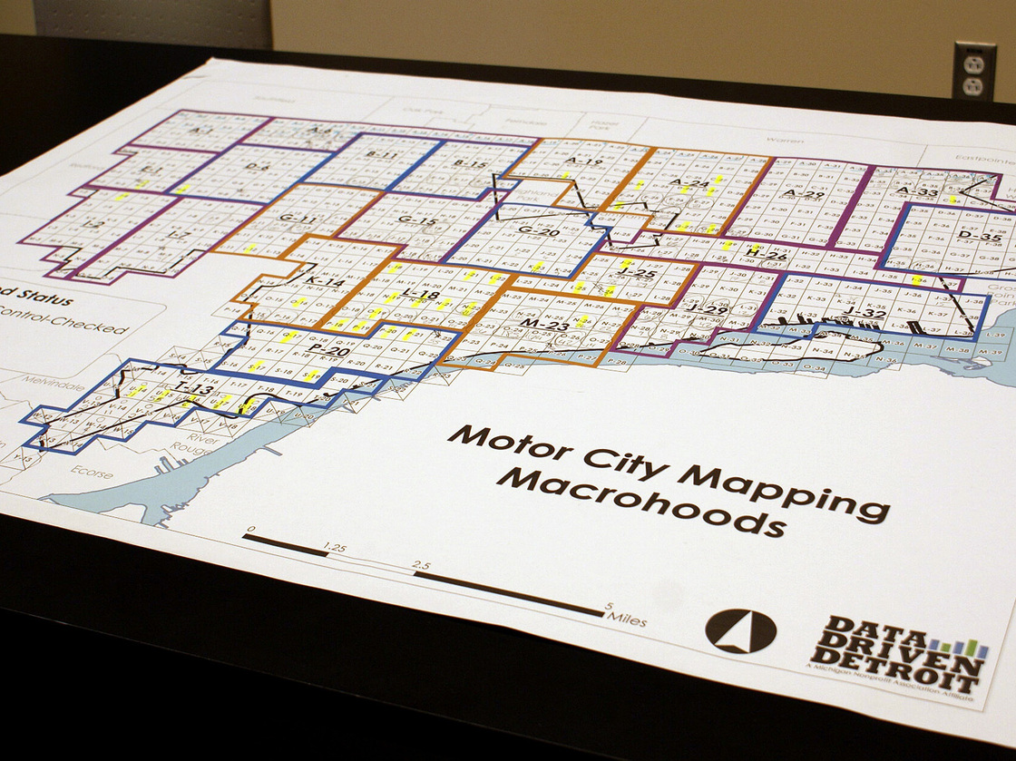
The high-tech project would help officials decide which abandoned buildings can be demolished.
Seth Dixon‘s insight:
This crowd-sourced mapping project is an great example of how a community can work together (using geospatial technologies and geographic thinking) to mitigate some of the more pressing issues confronting the local neighborhoods. Many optimists have argued that Detroit has “good bones” to rebuild the city, but it needs to built on as smaller scale. This project helps to assess what is being used by residents and should stay, and what needs to go.
Tags: urban, unit 7 cities, housing, economic, poverty, place, socioeconomic, neighborhood, mapping, GIS, geospatial.
See on www.npr.org


Leave a comment