See on Scoop.it – Geography Education
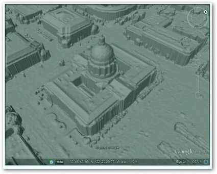
“Google is using a new technology to automatically generate 3D buildings from 45-degree angle aerial photography made by overlapping passes of aircraft. The aerial photos are combined to create 3D models.”
Seth Dixon‘s insight:
Some of the nuts and bolts behind Google Earth might be difficult to replicate in the computer lab, but it is critical to conceptually understand how geospatial data is used today. This series of images shows how important remote sensing is for our modern digital mapping platforms.
Tags: cartography, visualization, mapping, remote sensing, google.
See on worldcadaccess.typepad.com


Leave a comment