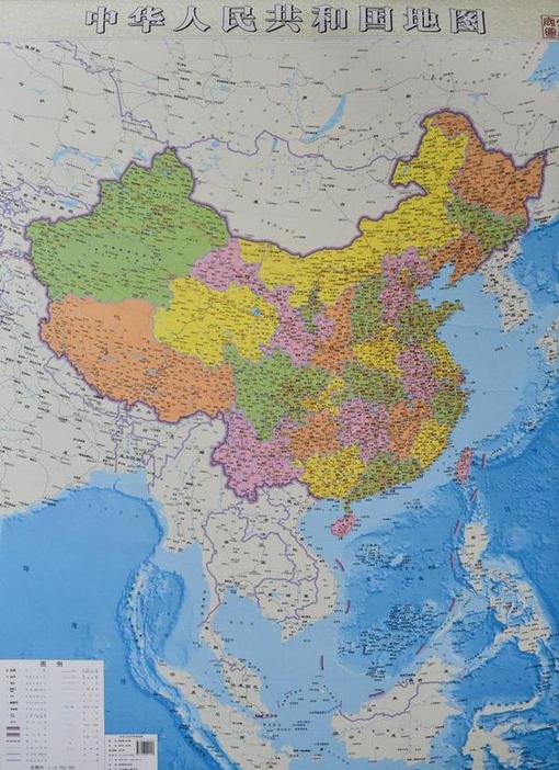
China has published a new map of the entire country including the islands in the South China Sea (West Philippine Sea) in order to “better show” its territorial claim over the region.
Source: globalnation.inquirer.net
China is attempting to bolster its geopolitical claims through cartographic validation. It as if to say, ‘it’s on a map, who can question that it is legitimately our territory?’ Why is a map such a powerful and convincing document? Why is the Philippines upset by this map? I think that explains this rival Filipino map as the Philippines and China engage in the cartographic version of dueling banjos. (note the uage of the South China Sea or West Philippine Sea to refer to the same body of water) . But this is more than just a map; it’s production has the potential to destabilize regional security.
For more resources, the Choices Program has put together supplemental materials to investigate China on the world stage.
Tags: borders, toponyms, political, conflict, water, China, East Asia.


Leave a comment