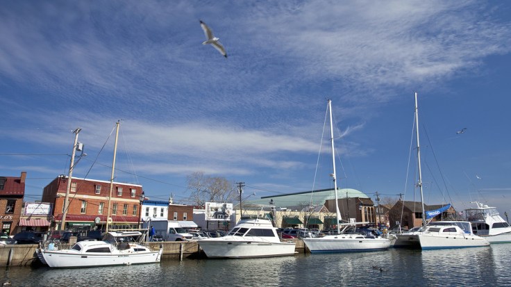
Federal maps help determine who on the coast must buy flood insurance, but many don’t include the latest data. Maryland is now making its own flood maps, so homeowners can see if they’re at risk.
Source: www.npr.org
Geographic themes are overflowing (it was an unintended pun, but I’ll just let that wash over you) in this podcast. I suggest playing a game early in the year/semester called “find the geography.” What geographic theme/content areas will your students find in this podcast?
Tags: podcast, mapping, cartography, climate change, environment, water, coastal, urban, planning, urban ecology.


Leave a comment