 What do you do when presented with a new satellite image? Here’s what the Earth Observatory team does to understand the view.
- Look for a scale
- Look for patterns, shapes, and textures
- Define the colors (including shadows)
- Find north
- Consider your prior knowledge
Question #2: READ TO ANSWER FOR MORE INFO ON THE FIVE TIPS: earthobservatory.nasa.gov
Question #3: Also search through NASA’s Earth Observatory (Images or Articles) and the Jefferson Grid Instagram account.
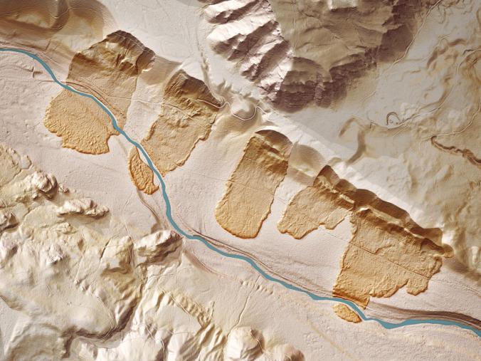
Aerial photography can be quite beautiful, as can satellite imagery. These are more than just pretty pictures; interpreting aerial photography and satellite imagery is not easy; here is a great article that gives an introduction on how to interpret satellite imagery. With a little training, satellite images become rich data sources (instead of some visually meaningless data). Using Stratocam, you can explore and tag some of the amazing place on Earth.
Tags: mapping, perspective, remote sensing, geospatial, unit 1 Geoprinciples.