“Geospatial technologies unearth a world hidden beneath the lush forests of the Pacific Northwest.”
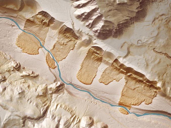
If you were to strip a forest of all its vegetation, what would you see? To find out, Washington state’s government is using airplanes equipped with LIDAR technology to scan the state’s heavily-forested ground. What’s being revealed beneath the trees is a spectacular and strange landscape of hidden geology. Old landslides, abandoned river channels, ancient lava flows, and the tracks of glaciers are suddenly visible in stark relief. Tracking the altitude and location of a plane with GPS while it scans the ground with LIDAR yields a highly precise digital elevation map of the Earth’s surface created out of the billions of laser pulses. By uncovering the debris from old landslides, LIDAR can show where future slides may occur.
Tags: geomorphology, remote sensing, geology, physical.
Source: news.nationalgeographic.com


Leave a comment