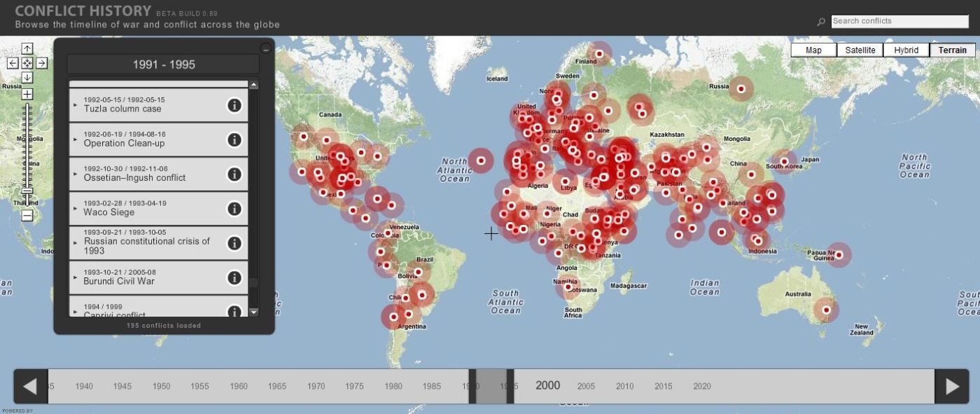
Browse the timeline of war and conflict across the globe.
This database of global wars and conflicts is searchable through space and time. You can drag and click both the map and timeline to locate particular battles and wars, and then read more information about that conflict. This resource would be a great one to show students and let them explore to find what they see as interesting. This site is brimming with potential.
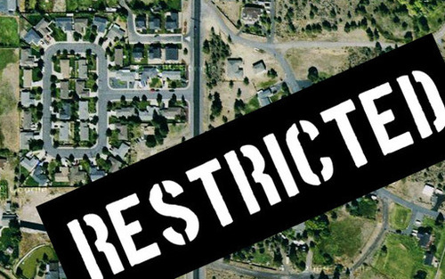
Google maps brings the world to your desktop – well, most of it, anyway. Here are 10 locations that governments and other entities have blurred or removed from satellite photos.
A user of geospatial technologies is not free to explore all places of the Earth with equal levels of specificity. Why? Where? How come?
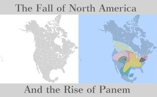
The Hunger Games fascination is at a high-water mark, and this dystopian Young Adult novel is set in a futuristic, post-apocalyptic, North America. While much of what was written isn’t geographically accurate, the capital and the districts that serve as its hinterland have numerous clues that connect with the current (and actual) geography of North America. Why not try to map it? While not an “accurate” project, this can be a fun way to infuse geography into an English class or vice versa. What would your map of Panem look like? How come?
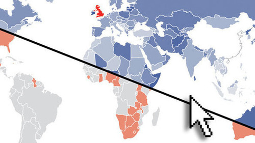
How Facebook connections mirror old empires EIGHT years ago Facebook launched as an online social network connecting a small college community from a dorm room at Harvard University.
These graphic show how in a post-colonial world, former colonies are still socially intertwined in a cultural network that mirrors the empires of yesteryear. Why are these modern social networks so similar to imperial patterns? What economic explanations are there for these patterns? What is the cultural impact?
Explore and vote on the best Google Maps satellite imagery around the world.
Much like sites that you can rate items up or down, you can rate the best aerial photography via Google Earth screen shots. There are some beautiful images and places to be discovered through this site. The physical and human landscapes are both intermingled in this fantastic collection of images…be careful, it can be amazingly addictive. For more from the producer of this site, see: http://paulrademacher.com or follow on twitter @paulrademacher.
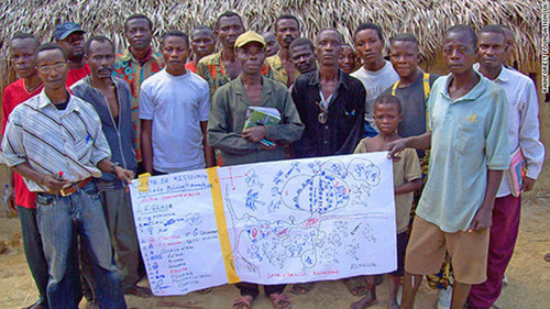
In the lush rainforests of Africa’s Congo Basin, hundreds of thousands of indigenous people live as hunter gatherers, depending on the forest’s natural resources for their survival.
The “Mapping for Rights” program trains people in the Congo to map the land they live on using GPS and other geospatial technologies. This can assist the to produce documents to politically protect their land from encroachment and preserve their access to the forest. Globalization can blur many of the modern/traditional narratives as the world becomes interconnected in complex ways.
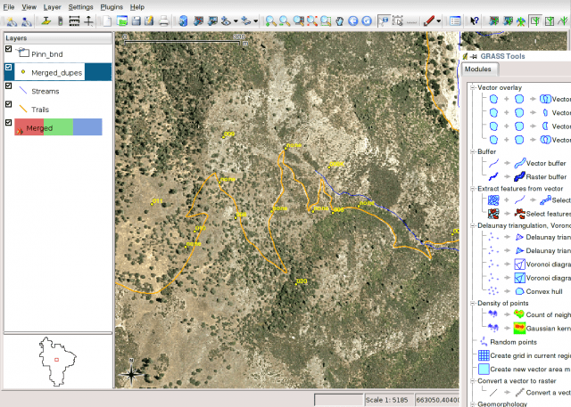
Do you want to use GIS but don’t have the budgetary support to install expensive software? Don’t know where to start? QGIS is a free, open-source GIS that is a nice option for schools operating on a limited budget that still want a full GIS platform.
For GIS novices, here is an excellent set of video screencasts that are an introduction to what GIS is, using the QGIS software. This site also provides sample data, tutorials and worksheets.
Another excellent tutorial for novices to GIS is found here. This tutorial was especially designed for journalists creating maps, and walks you through the installation process as well as some of the basics of the user interface.