Search

GEOGRAPHY EDUCATION

Supporting geography educators everywhere with current digital resources.

Category

Uncategorized

A Portrait of Global Winds

“This visualization shows global winds from a GEOS-5 simulation using 10-kilometer resolution. Surface winds (0 to 40 meters/second) are shown in white and trace features including Atlantic and Pacific cyclones. Upper-level winds (250 hectopascals) are colored by speed (0 to 175 meters/second), with red indicating faster.”

Seth Dixon‘s insight:

This global map of wind speeds is a great companion to this United States map. This interactive map is a ‘nearly live’ dynamic display of United States winds patterns (speed, direction and broad spatial context). 

See on www.nasa.gov

On How to Read a (Good) Map

“Just as you shouldn’t trust everything you read or see on television, you should never blindly trust information just because it is on a map. All maps posit arguments. Maps present information about how something is. All maps posit arguments. Maps present information about how something is. Just as there are no unbiased arguments, there are no unbiased maps.”

Seth Dixon‘s insight:

This is a really good article that explores the idea of how to critically read maps. It gives good guidelines, techniques and questions to ask when assessing the positionality of the map.  If you are looking for a video for a younger audience to teach this same principle, see this clip.

Tags: mapping, perspective.

See on nasaesw.strategies.org

Precipitation Mapping

Seth Dixon‘s insight:

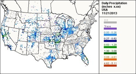
In New Hampshire they are doing great work to make mapping data useful in the classroom.  This site is one that they use to show how students can map locally relevant data from an online data set.  CoCoRaHS (Community Collaborative Rain, Hail & Snow Network)  is a crowd-sourced network that gathers North American precipitation data.  The data (especially the total precipitation summary) can be easily copied into as spread sheet and saved as a CSV file (which can be uploaded to ArcGIS online).

Tags: mapping, CSV, water, GIS, ESRI, geography education, geospatial, edtech.

See on www.cocorahs.org

Tsunami in Japan 2011

“This video captures some amazing footage of the 2011 tsunami in Japan.”

Seth Dixon‘s insight:

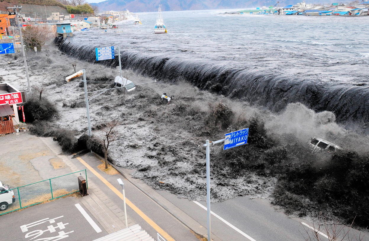
This is an absolutely gripping video (not embeddable), that is equally amazing and horrifying.  In Kesennuma, Japan, the 2011 earthquake and subsequent tsunami caused catastrophic damage, although many were able to survive on the high-rise rooftop (like the videographer).  Much like a tsunami, the video starts out slow with only alarm bells, but at around the 2:20 minute mark the first sign of the small wave makes its way up the river, with onlookers unsure of the magnitude of the impending damage.  The riverbanks are breached at 7:43.  By 14 minutes, the debris and wreckage is massive, and the quantity of water flooding in is still growing.  The last 6 minutes shows the waters receding, but the impact of the tsunami still spreads as fires spread through town. For a full documentary on the tsunami, click here.  I surely hope that no one reading ever gets a closer look at what a tsunami looks like in person.  This time lapse audiovisual representation of global seismic activity puts the Japanese tsunami into it proper context (wait for the dramatic event at the 1:45 mark).


Tags: Japan, East Asia, disasters, geomorphology, erosion.

See on www.youtube.com

Happy GIS Day

Seth Dixon‘s insight:

Happy GIS day!  Discover some great GIS resources that you can use in the classroom to help students gain spatial thinking skills and expand their global awareness.  Don’t think there is a career for you in geography?  Think again.  

Tags: mapping, GIS, ESRI, geography education, geospatial, edtech.

See on www.youtube.com

India and Pakistan Reunited

“It’s rare that a video from a brand will spark any real emotion–but a new spot from Google India is so powerful, and so honest to the product, that it’s a testament not only to the deft touch of the ad team that put it together, but to the strength of Google’s current offering.”–Forbes

Seth Dixon‘s insight:

True, this is a commercial–but what a great commercial to show that the history of of a geopolitical conflict has many casualties including friendships across lines.  This isn’t the only commercial in India that is raising eyebrows.  This one from a jewelry company is proudly showing a divorced woman remarrying–something unthinkable for Indian TV one generation ago. 


Questions to Ponder: How does the Indian media reflect the values and beliefs of Indian culture?  How does the Indian media shape Indian culture?


Tags:  India, borders, political, Pakistan, media, gender, popular culture.

See on www.youtube.com

How the British (literally) Landscaped the World

“Did you hear about the Five Pillars of British Landscaping Empire during your religion classes? To sort them by order of importance within the Holy Book of Grass: First is Grass. Second is pasture grass (this one comes with fences). Third is leisure grass. Forth is golf grass. Fifth is: you never have enough flowers & cute little benches on your grass.”

Seth Dixon‘s insight:

I’ve written in the past about the aesthetics of the an ideal British landscape (as embodied in the anthem Jerusalem).  The British ideal was to tame nature; the Canadians on the other hand, embraced the wildness of the natural landscape.  Those difference normative views of landscape helped to shape national identity and inform land use decision-making processes.     

See on pickmeuptonic.wordpress.com

Get Out, Get Active

Bring geography to life inside the classroom and out.

Seth Dixon‘s insight:

It is now Geography Awareness Week!  Geography isn’t just something to study, it’s something to do.  Make geography active and engaging.  Here are some resources that we are using in Rhode Island for #GeoWeek.  What is your local Geographic Alliance doing?  If you don’t know, now is a great time to join. 

See on education.nationalgeographic.com

The Forgotten Giant Arrows that Guide you Across America

“Giant 70-foot concrete arrows that point your way across the country, left behind by a forgotten age of US mail delivery.  Long before the days of radio (and those convenient little smartphone applications), the US Postal service began a cross-country air mail service using army war surplus planes from World War I.  The federal government funded enormous concrete arrows to be built every 10 miles or so along established airmail routes they were each built alongside a 50 foot tall tower with a rotating gas-powered light. These airway beacons are said to have been visible from a distance of 10 miles high.”

Seth Dixon‘s insight:

This is fascinating…just because a technology is old and outdated in modern society doesn’t mean it wasn’t ingenious.  The original mathmeticans who calcuated angles and distances study geometry so they could navigate and ‘measure the Earth.’ These giant arrows are but one of those links in the geneological strands of navigational technology.    

See on www.messynessychic.com

Create a free website or blog at WordPress.com.

Up ↑