Search

GEOGRAPHY EDUCATION

Supporting geography educators everywhere with current digital resources.

The Origins Of The Shiite-Sunni Split

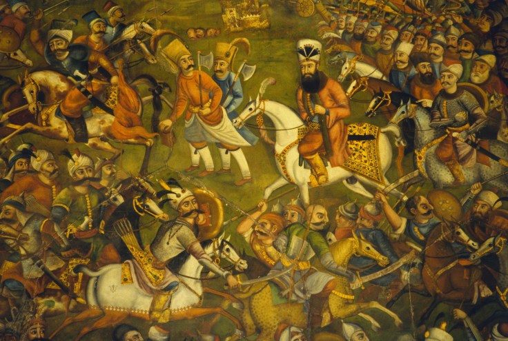
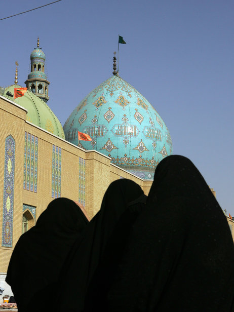
The division between Islam’s Shiite minority and the Sunni majority is deepening across the Middle East. The split occurred soon after the death of the Prophet Muhammad, nearly 1,400 years ago.

Source: www.npr.org

The ghosts of religious wars past are rattling in Iraq; The geography of the Sunni-Shiite division is incredibly important for a good understanding of world regional geography as well as modern geopolitics. This NPR podcast examines the  historical and religious aspects of this split to then analyze the political and cultural implications in the Middle East today.  


Tags: MiddleEast, Islamreligionhistorical, culturepodcast.

shia-sunni-split2_vert-c54281df26243133666cc54f16e76b6f72cb468f-s3-c85


Iraq’s Current Devolution

“A radical fringe Islamic group names ISIS is fighting to establish a extremist Islamic state in Iraq and Syria…and beyond. They control eastern Syria, western Iraq, just took control of Iraq’s 2nd largest city of Mosul and are advancing on the capital Baghdad.  In this podcast, the professor John Boyer outlines just a few of the contributing factors to why this significant event is taking place, the geographic/historic background of the state, and the consequences for the future of the region.”

Source: www.youtube.com

If you haven’t yet discovered John Boyer, a.k.a. the Plaid Avenger,  I recommend exploring his site.  He has numerous resources for world regional geography and current global affairs.  His colorful persona is highly entertaining for college age-students as his class attracts over 3,000 students each semester (you can decide for yourself whether that personality works for you and your classroom).  This particular ‘plaidcast’ discussion focuses on Iraq’s current devolution and possible total collapse. 

Tags: SyriaIraq, MiddleEast, conflict, political, geopoliticsborders, colonialism, devolution.

CrisisWatch: The Monthly Conflict Situation Report

Mapping global conflict month by month.

Source: crisisgroup.be

You and your students can browse through this interactive map for an update on conflict situations around the world.  The International Crisis Group is an independent, non-profit, non-governmental organization committed to preventing and resolving deadly conflict; they’ve created this interactive map to help us stay informed about the most important conflict issues around the world.  I’m placing this on my list of favorite resources as this is one worth returning to on a regular basis.

Tagsconflict, political, geopolitics, best of the best.

CrisisMap

Where Will The World’s Water Conflicts Erupt?

As the climate shifts, rivers will both flood and dry up more often, according to the latest report from the Intergovernmental Panel on Climate Change. Shortages are especially likely in parts of the world already strapped for water, so political scientists expect feuds will become even more intense. To track disputes worldwide, researchers at Oregon State University spent a decade building a comprehensive database of international exchanges—-both conflicts and alliances—over shared water resources. They found that countries often begin disputes belligerently but ultimately reach peaceful agreements. Says Aaron Wolf, the geographer who leads the project, “For me the really interesting part is how even Arabs and Israelis, Indians and Pakistanis, are able to resolve their differences and find a solution.”

Source: www.popsci.com

Too often we think of political conflicts within the framework of state borders; this mapping project divides the world into watersheds and forces us to look at global politics through a different and enlightening lens (Hi-Res image).  Oil might be the most economically valuable liquid resource, but water is the most critical for human habitation.  This infographic is reminiscent of this one, asking where the next ‘water wars’ might take place.   


Tags: water, political, unit 4 political environment, conflict, infographic

High-School Dropouts and College Grads Are Moving to Very Different Places

Cities like Washington and San Francisco are gaining the highly skilled but losing their less-educated workforce.

Source: www.citylab.com

This article, with its charts and interactive maps, is worth exploring to show some of the important spatial patterns of internal migration.  It’s not hard to realize that larger, cosmopolitan metro areas will have an advantage in attracting and keeping prospective college graduates; the question that we should be asking our students is how will this impact neighborhoods, cities and regions?    

Tags: migration, USA, mappingcensus, education.

Gallery: What inequality looks like

Artists, designers, photographers and activists share one image that encapsulates what inequality means to them.

Seth Dixon‘s insight:

Photographers are great social observers, often finding the perspective to tell a story.  This gallery of shows a dozen images from all over the world highlighting various forms of inequality.  

Tags: poverty, images, development, economic, perspective.

See on ideas.ted.com

Stunning Photos Of Earth From Above Will Change Your Outlook Of The Planet

This daily dose of satellite photos helps you appreciate the beauty and intricacy of the things humans have constructed–as well as the devastating…

Seth Dixon‘s insight:

Have you ever seen the website, The Daily Overview?  The purpose of the site is to share a compelling/ informative/artistic satellite image every day to get readers to view the world from a different perspective. This article about the site is nice summary of the project. 


Tags: remote sensing, geospatial, images, perspective.

See on www.fastcoexist.com

Home clings to collapsing cliff in N. Texas

“The edge of the 4,000 square foot residence on Overlook Court was dangling about 75 feet above the rocky shoreline of Lake Whitney after part it it had already broken off.”

Seth Dixon‘s insight:

Just because we build retaining walls, fences, storm drains and other features, it doesn’t mean that erosion will stop being a major and consistent force shaping the landscape.   I don’t think they got their money’s worth on there environmental impact statement, but I’m sure the real estate agent really sold them on the beautiful view.  


Questions to Ponder: Why do we build homes where we do?  How is this different across cultures (hint-Brazil)?

Tags: physical, geomorphology, erosion, landforms.

See on www.khou.com

The Beginning of a Caliphate: The Spread of ISIS

With Tuesday’s seizure of Mosul, Iraq’s second largest city, the Islamic State of Iraq and Syria notched a major victory in its campaign to create a new country containing parts of what had part of both Syria and Iraq. On Wednesday, the insurgents continued their march south, taking control of Tikrit, the hometown of Saddam Hussein.

The story of ISIS’s spread — and its influence — is one that begins in Syria, where the group has been waging a brutal insurgency against the regime of Bashar al-Assad and, increasingly, other more moderate and secular rebel groups. The map above depicts the areas of Syria under its control. The group’s influence is bounded by the Free Syrian Army in the west, the Kurds in the north, and pockets of government influence.

Tags: SyriaIraq, MiddleEast, conflict, political, geopolitics.

See on blog.foreignpolicy.com

Create a free website or blog at WordPress.com.

Up ↑