Seth Dixon, Ph.D.‘s insight:
Tags: pollution, infographic, ecology.
See on www.learnstuff.com
Our bordering countries quiz contains a selection of trivia based on countries throughout the continents and their geographical relationship with one another.
See on www.quizfortune.com
International Women’s Day: political rights around the world mapped
This is late for International Women’s Day, but it is never a wrong time to analyze the spatial and temporal patterns of the expansion of women’s political rights. This interactive map is excellent for seeing these few metrics, but a more expanded dataset with maps concerning gender (in)equality in the world and the status of women is WomanStats.
Tags: gender, mapping, statistics, political.
See on www.guardian.co.uk
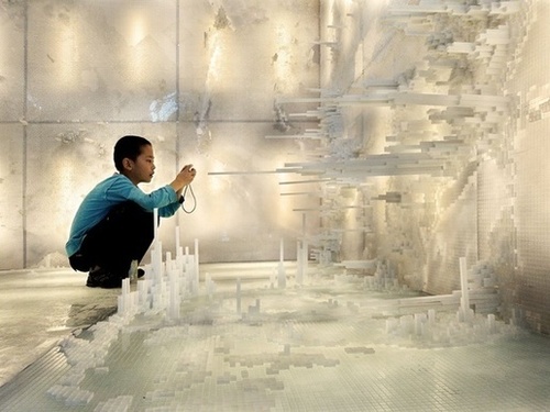
Two Yale architects pose the question in an ambitious research project.
“Hsiang and Mendis have increasingly come to believe that the only way to study and plan for our urban planet is to conceptualize its entire population in one seamless landscape – to picture 7 billion of us as if we all lived in a single, massive city.”
See on www.theatlanticcities.com
Video of a sandbox equipped with a Kinect 3D camera and a projector to project a real-time colored topographic map with contour lines onto the sand surface. …
Many of our first experiments of creating landforms and designing a new world started in the sandbox. This video shows how that early childhood activity can make for an excellent classroom demonstration to shows how Earth’s physical systems work. If you have a digital topographic map to superimpose on the sandbox and a GPU-based water simulation, then you’ve got this fantastic video. Click here to learn more about this UC Davis project on the visualization of lake ecosystems.
Tags: water, physical, geomorphology, landforms, visualization.
See on www.youtube.com
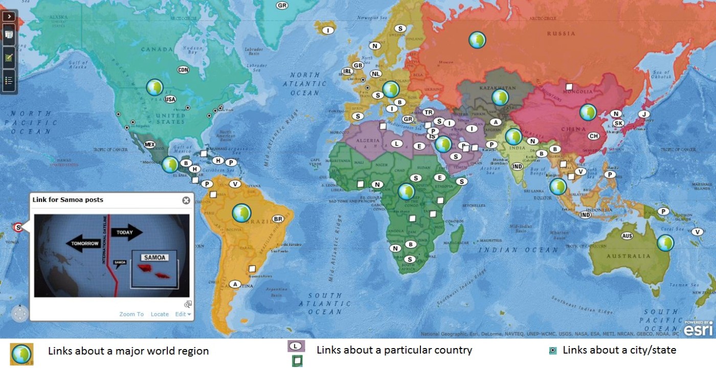
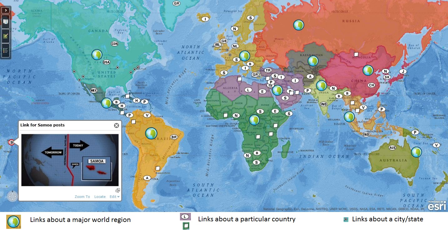
Finding Materials: This site is designed for geography students and teachers to find interesting, current supplemental materials. To search for place-specific posts, browse this interactive map. To search for thematic posts, see https://geographyeducation.org/thematic/ (organized by the APHG curriculum). Also you can search for a keyword by clicking on the filter tab above.
Staying Connected: You can receive post updates in the way that best fits how you use social media.
Update Notifications: Twitter, Facebook, Pinterest, Google+.
Email: Click ‘follow’ button at top right of this page.
I hope that you enjoy the content and materials that you find on this website. This represents the best news, materials and resources that I have found that can be used in geography (and other) classrooms.
See on www.arcgis.com

Central Places:Theory and Applications produced by Ken Keller (kellek@danbury.k12.ct.us) adapted from Don Ziegler.
The Central Place Theory is a model that is not used much today in academic geography, but given it’s explicitly spatial nature, it is used in many geography curricula (including AP Human Geography) to show systems thinking and spatial patterns. This powerpoint goes over the main ideas of the theory developed by Walter Christaller as well as some examples.
See on www.slideshare.net

I have a longstanding obsession with J.R.R. Tolkien’s ‘The Hobbit,’ starting with the great 1977 animated film that captured my young imagination. Hobbits are content to be intensely local and ignore the world beyond their neighborhood until Gandalf instills in Bilbo and subsequently Frodo to learn about the wider world. I’ve always seen that as push for all of us to get to know more about the world, and to experience it first-hand. Sometimes academic geographic forgets the explorer component of geographic inquiry and discovery and it is these geographic quotes from the movies and books that I wish to share.
See on geographyeducation.org