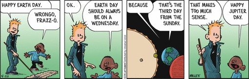
Source: www.gocomics.com

“Aerial photography has always been a key component in map production,” says Chris. “It’s the medium you use to extract the information that ultimately finds its way to a map.”
Tags: mapping, cartography, geospatial, New Zealand.
Source: www.radionz.co.nz
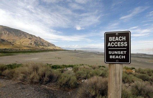
Diverting more water could pose serious health and economic threats to Utah.
Source: www.citylab.com
Follow-up: The drying up of the lake can’t be blamed on the current drought, this is a human-induced modification of the environment. This lake is not exceptional, even if the imagery is startling. Like many lakes in dry climates with growing populations, the people are using the freshwater flow into the lakes more extensively than they have in the past. The Great Salt Lake, the Aral Sea, Lake Chad, Lake Urmia, and the Dead Sea are all drying up.
Tags: physical, Utah, environment modify, environment, water.
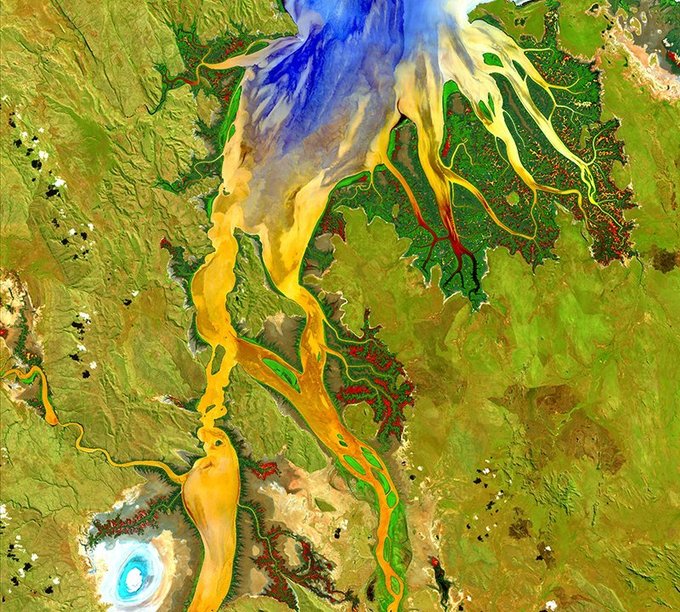
“The U.S. Geological Survey (USGS) has compiled some of the more stunning examples into a traveling art exhibition called Earth as Art 4, the fourth in a series of shows since 2002. The collection, which can be viewed in full online, debuted at USGS headquarters in Reston, Virginia.”
Tags: remote sensing, land use, environment, geospatial, images, art, landscape.
Source: www.smithsonianmag.com

Bern Szukalski shares his highlights from the latest release of ArcGIS Online.
Source: video.esri.com
This video is a great way to find out what is new in ArcGIS online this month. Some of the capabilities highlighted in this 10 minute video are:
Tags: GIS, ESRI, video, mapping, cartography, geospatial, technology.

“The ultimate list of the greatest wonders in the world.”
Source: www.listchallenges.com
I have been fortunate enough to have visited 53 of the places on this list (I have gaping holes in my list and the list itself has some gaping holes itself). All lists are highly subjective; this list, for example, is heay on urban/cultural/European tourism sites and light on physical/Asian/African destinations. Most geographers already have enough reasons to go traveling, but this list might spark more. Who wants to map out these places to verify that initial impression?
Questions to Ponder: Which places are on your dream list? Which places do you think should have been added to this list?
Tags: place, tourism, culture, landscape, geo-inspiration.

“Most food, if we trace it back far enough, began as a seed. And the business of supplying those seeds to farmers has been transformed over the past half-century. Small-town companies have given way to global giants. A new round of industry consolidation is now underway. Multibillion-dollar mergers are in progress, or under discussion, that could put more than half of global seed sales in the hands of three companies.”
Tags: food, economic, food production, agribusiness, podcast.
Source: www.npr.org
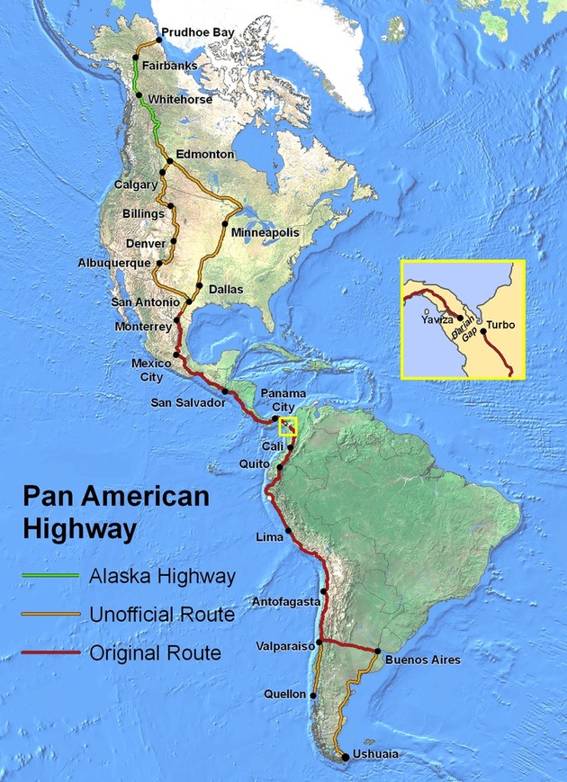
At its fullest extent the Pan-American Highway is a network of roads stretching from Prudhoe Bay, Alaska, to Ushuaia, Argentina, a distance of around 30,000 kilometres (19,000 miles).
Source: brilliantmaps.com
I love a good road trip, and I while I love the idea of traversing the entire length of the Americas, I think that the idea of it might be better than the actual trip (at least will my kids in the back seat).
Tags: mobility, transportation, tourism, South America, Middle America.


