Via Scoop.it – Geography Education
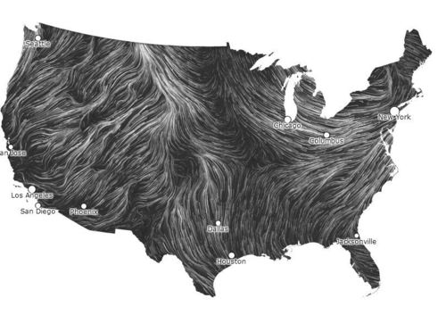
This interactive map is a ‘nearly live’ dynamic display of United States winds patterns (speed, direction and broad spatial context).
Via Scoop.it – Geography Education
This interactive map is a ‘nearly live’ dynamic display of United States winds patterns (speed, direction and broad spatial context).



Have a WordPress.com account? Log in now.


Leave a comment