
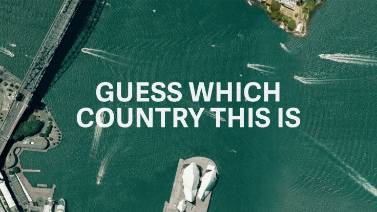
There are some beautiful images and places to be discovered through this quiz. This set of aerial photographs challenges the reader to guess the country where the image was taken; even with two options, it’s quite challenging. This forces the reader to use context clues in the physical and human landscapes to make an education guess. If you are looking for more, here is an additional quiz. To explore more Google Earth images, Stratocam is a great place to start.
Source: qz.com
Tags: landscape, remote sensing, geospatial, trivia, games.


Leave a comment