Source: bl.ocks.org
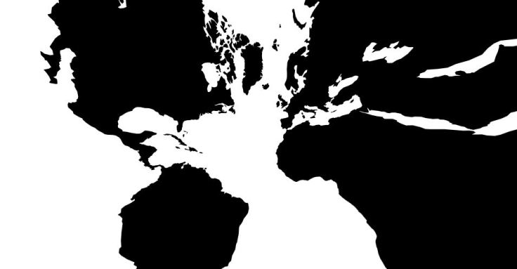
As stated on USGS map projections page: “[Gnomonic maps are] used by some navigators to find the shortest path between two points. Any straight line drawn on the map is on a great circle, but directions are true only from center point of projection.” This interactive is a very fun way to visualize this and to understand distortion.


Leave a comment