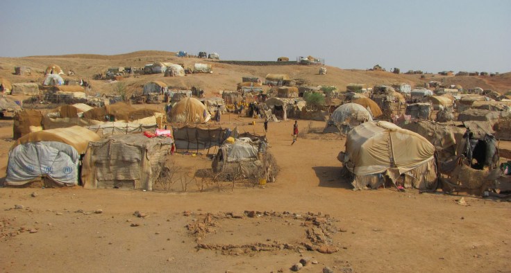
War, sectarian violence, and famine have forced more than 50 million people from their homes—the largest number of displaced people since World War II.
Source: storymaps.esri.com
Here are two excellent ESRI StoryMaps about the Syrian refugee crisis; these are two very good examples of a great web maps.
- ‘The Uprooted‘ (focused more on Syria).
- Epicenter of a Deepening Refugee Crisis (puts Syria into a larger global patterns).
Tags: GIS, ESRI, mapping, cartography, geospatial, edtech, Syria, political, refugees.


Leave a comment