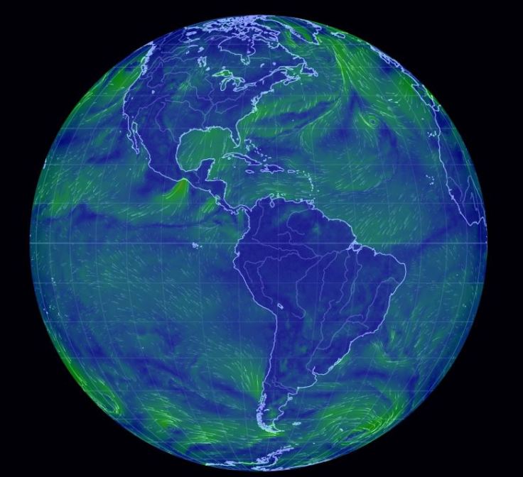
It is incredibly cold in New England right now. How can maps help us to understand the weather patterns we are facing? How is what we are facing in our community connected to global patterns? Maps help us to contextualize information and understand processes. So to investigate this our freezing wind conditions we will look at a series of online resources.
- Dynamic Wind Map of USA (Visualization).
- Interactive wind map (Ventusky).
- Interactive wind map (WindyTy).
- Digital Globe with Wind patterns (Null School)
GeoEd TAGS: physical, weather and climate, mapping, visualization.


Leave a comment