Search

GEOGRAPHY EDUCATION

Supporting geography educators everywhere with current digital resources.

Author

sethdixon

I am a geography professor at Rhode Island College.

Political and Economic Geography Presentations

6 conference presentations on various economic and political geography topics given at NCGE 2013 as a part of the APHG strand.

Seth Dixon‘s insight:

The last two mornings in Denver, CO there was a series of presentations of economic and political geography given in front of a capacity crowd.  6 of the educators have agreed to share the slides of their presentations with the broader geography education community and you can access them all here.  See also this livebinder with resources for teaching APHG to 9th graders (which can be adapted to older students as well).  This was a fantastic professional development event and we are all thankful that they were willing to share these resources.  

Tags: APHG, NCGE, political, economic.

POLITICAL GEOGRAPHY SESSION for the APHG strand at NCGE 2013
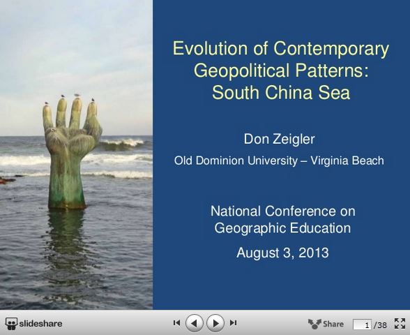
Don Zeigler

Lili Monk

Ken Keller

ECONOMIC GEOGRAPHY SESSION of APHG strand at NCGE 2013

Paul Gray

Rick Gindele

Ken Keller

Gender empowerment in agriculture and development

T3G Lightning Talks

Earlier this summer the T3G participants had an informal lightning talk session with many people sharing their favorite educational, geospatial or professional development tools.  I was amazed as some of the incredible projects these fantastic educator are involved with and I didn’t have time to properly credit all the speakers, but this was the best I could do to capture some incredible projects.  Below are some of the links:

Seth Dixon‘s insight:

GIS and GEOSPATIAL in EDUCATION

EDUCATIONAL TECHNOLOGIES

Ken Jennings at NCGE

Seth Dixon‘s insight:

The keynote address of the NCGE conference in Denver was given by Ken Jennings of Jeopardy fame and the author of Maphead (and yes I was super excited to meet a fellow map geek and  BYU grad).  “Everything is better with maps,”  Jennnings said, and geographers often try to say that we do more than just look at maps, but mapping technologies should be embraced as a way to help make geography be the placed-centered part of other academic disciplines.  He also mentioned the great advantage and challenge we have with mapping technologies in building greater spatial thinking skills for our students today.  One the one hand, maps are so interactive today that the application are endless.  On the other hand, if we allow our GPS devices to do all of the spatial and navigational thinking for us, our minds will lose those skills.  As we use (and refrain from using technology) appropriately, spatial thinking and mapping can only make everything better. 

Iran’s ‘Jerusalem Day’: Behind the rallies and rhetoric

Iran’s annual al-Quds – or Jerusalem – Day, denouncing Israel, is as much an expression of policy as ritual, writes BBC Persian’s Siavash Ardalan.

Seth Dixon‘s insight:

The Iranian government officially holds a ‘Jerusalem Day’ every year to spout anti-Israeli rhetoric.  I want that to be the dropback for this TED talk where Israelis and Iranians share pictures of tolerance, respect and love for each other on social media.   


Questions to Ponder: How can your country of origin shape your cultural perspective on other societies and reaffirm a national identity?  In what ways can individuals resist and subvert the official state-sanctioned narrative?  How is social media changing grass roots geopolitics?

Tags: Iran, Israelsocial media, political, Middle East.

See on www.bbc.co.uk

IranRally

Hydraulic Fracking

“Hydraulic fracturing, or ‘fracking’, is the process of drilling and injecting fluid into the ground at a high pressure in order to fracture shale rocks to release natural gas inside.”

Seth Dixon‘s insight:

This website, Dangers of Fracking, is clearly not produced by the oil industry.  What I enjoy about this resource is that as you scroll down, it adds more context to the environmental issues and geographic factors.  This type of website promotes holistic thinking and interdisciplinary approach to complex problems.  

Tagsenergy, resources, environment, environment modify, ecology.

See on www.dangersoffracking.com

American Centroid Helps To Trace Path Of U.S. Migration

“David Greene talks to writer Jeremy Miller about the American Centroid. That’s the place where an imaginary, flat, weightless and rigid map of the U.S. would balance perfectly if all 300 million of us weighed the exact same.”

Seth Dixon‘s insight:

Every 10 years the centroid (the center of U.S. population) is calculated using the latest census data.  As the map above shows, the centroid has continued moved west throughout history, but in the last 60 years has moved to the south and west.  The recent shift to the south coincides with the mass availability of air conditioning (among other factors) which opened up the Sun Belt.  In this article in Orion Magazine, Jeremy Miller discusses the historical shifts in the spatial patterns of the U.S. population and the history of the centroid.  you can listen to podcast versions of this article as well, one by NPR and a more in depth one by Orion Magazine.


Questions to Ponder:  Would the centroids of other countries be as mobile or predictable?  Why or why not?  What does the centroid tell us?


Tags: statistics, census, mappingmigration, populationhistoricalUSA.

See on www.npr.org

What Does Good Geography Teaching Look Like?

Seth Dixon, a Rhode Island College geography professor and the coordinator of the RI Geography Education Alliance, gave the keynote address at the Thinking Geographically about International Issues 2013 summer institute, in a talk entitled What Does Good Geography Teaching Look Like?

Seth Dixon‘s insight:

I was delighted to speak at Brown University this summer as a part of the Choices Program’s summer institute.  This is the video of that talk (as well as the hyperlinked slides) that is my modest attempt to tackle such a monumental question in my profession.

Tags: geography educationteacher training.

See on www.choices.edu

This Guy’s Never Met a Map He Didn’t Want to Fix

Just not always for the better: “I’ve deliberately designed maps that are deliberately horrible to look at, and succeeded.”

Seth Dixon‘s insight:

All maps are compromises; the Mercator projection preserves shape but distorts size, and so on.  What about sacrificing locational accuracy to preserve the aesthetic design or readability?  Just some things to think about as you peruse these redesigned subway maps.  

Tags: visualization, transportation, mapping, NYC.

See on www.theatlanticcities.com

Just what is Geography?

“I’m a geographer. Yes, I study rocks, but I’m not a geologist. I consider weather and climate when I study people–but I know the environment doesn’t determine a culture’s development. Hydrology and oceanography are cool. Please don’t feel threatened just because I know about economic, political, and cultural globalization. I read Darwin, Lovelock, Marx, and Tuan–all in geography classes. The newspaper calls me a local historian. My neighbors think I’m an expert on roads. I hang out in cemeteries. I’ve served in government–far more successfully than the self-proclaimed ‘business experts.’ Capitals? I really haven’t memorized them, thank you. But I can think spatially and holistically. I love my planet. I’m interdisciplinary. I’m a geographer.”

Seth Dixon‘s insight:

I you haven’t ‘liked’ the Church of Geography on Facebook, you really should. These geo-sermons are worth the huge investment of a simple click.  

See on www.facebook.com

Blog at WordPress.com.

Up ↑