Search

GEOGRAPHY EDUCATION

Supporting geography educators everywhere with current digital resources.

Author

sethdixon

I am a geography professor at Rhode Island College.

Finding the Hidden Faces in Google Maps – The Atlantic Cities

The Atlantic Cities Finding the Hidden Faces in Google Maps The Atlantic Cities And they’ve found many more faces, too – because they’ve actually built a computer program that sifts through Google Maps with facial-recognition technology to find…

See on www.theatlanticcities.com

Moore, OK: Before and After Imagery

Click here to edit the title

Seth Dixon‘s insight:

This interactive feature includes before and after satellite imagery of Moore, Oklahoma.  With the remarkably desvasting tornado that hit this week, this is an user-friendly way to compare before and after images by using the swipe function.


Tags: remote sensing disasters, environment, geospatial, esri.

See on tmappsevents.esri.com

Middle Earth: Why We Need to Turn Our Map on Its Side

Though he never actually crossed it, the Greek mathematician Pythagoras is sometimes credited with having first conceived of the Equator, calculating its location on the Earth’s sphere more than four centuries before the birth of Christ.

Seth Dixon‘s insight:

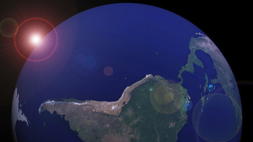
This is an interesting article on some Earth-Sun relationships that challenges the dominant north-centered normative view of how to think about our planet.  My favorite tidbit of information: “The velocity of the Earth’s rotation varies depending on where you stand: 1,000 mph at the Equator versus almost zero at the poles. That means that the fastest sunrises and sunsets on the planet occur on the Equator, and centrifugal and inertial forces are also much greater there. “

See on gizmodo.com

A parched Syria turned to war, scholar says, and Egypt may be next

Prof. Arnon Sofer sets out the link between drought, Assad’s civil war, and the wider strains in the Middle East; Jordan and Gaza are also in deep trouble, he warns

Seth Dixon‘s insight:

This is an interesting article; some seem the linkages that he is making between population growth and drought with war and conflict as being environmentally deterministic while others think that it is appropriately taking the geographic factors into consideration.  Conflicts over water can erupt, but how much of the conflict can be attributed these factors?  What do you think? 

Tags: SyriaMiddleEast, conflict, political, water, environment,

See on www.timesofisrael.com

Exploring farms from above

“Stunning gallery of 15 images depicting agricultural landscapes.”

Seth Dixon‘s insight:

“Aerial photographer Alex MacLean estimates he has spent about 6,000 hours in the sky photographing American farms.  His unique perspective depicts the dramatically changing agricultural landscape in the U.S., something he has been drawn to since he started flying nearly 40 years ago.  ‘I’ve been photographing agricultural lands since I started flying, in the early 1970s,’ he says. ‘I was drawn to the aesthetics of farmland, in part because of its natural response to environmental conditions, climates, soils and topography…A lot of what I photograph is through discovery of seeing crops, seeing patterns.’ 

Tags: agriculture, landscape, images.

See on cnnphotos.blogs.cnn.com

Mass Wasting

Seth Dixon‘s insight:

A steep slope and unstable ground in this picture from Egypt results in mass wasting and the ‘flow’ of the sand down the slope.  Sand dunes are often formed more by aeolian (wind) processes, making this image especially noteworthy.


Tags: physical, geomorphology, erosion, landforms.

See on www.seemorepictures.blogspot.com

Before and after: Tornado cuts devastating path through Oklahoma

Explore the Bing map, or Google map of Moore, Okla. More on the Oklahoma tornado:

See on photoblog.nbcnews.com

NWS – National Mosaic Enhanced Radar Image: Full Resolution Loop

Latest weather radar images from the National Weather Service

Seth Dixon‘s insight:

With all the tornado warnings, damage and concern, this map shows the spatial configuration of the danger zone.  This is the link for the interactive weather map that is continuously updated by NOAA.  Here is the high resolution, static version.   

See on radar.weather.gov

Water and Development

Australia’s engagement with Asia: Water – a case study on Flores

Seth Dixon‘s insight:

For a the full lesson on how access to clean drinking water and human well-being are connected on the Indonesian island of Flores, visit World Vision Australia.  

Tags: Indonesiawater, development.

See on www.youtube.com

Blog at WordPress.com.

Up ↑