Search

GEOGRAPHY EDUCATION

Supporting geography educators everywhere with current digital resources.

National Parks: America’s Greatest Classrooms

See on Scoop.it – Geography Education

“The National Park Service has a new website, designed just for educators.  This short video showcases how teachers can use this website in the classroom.”  www.nps.gov/teachers

Seth Dixon‘s insight:

Field Trips in a National Park can be an incredible experience in a outstanding learning environment.  The National Park Service has produced many lesson plans, videos, distant learning programs, and resources for teachers to give them opportunities to experience the National Parks online.  These resources are available for a wide range of subjects and grade levels.  Where is the nearest U.S. National Park to your community?     

See on www.youtube.com

Colorado River Reaches the Sea of Cortez

See on Scoop.it – Geography Education

“When the Minute 319 ‘pulse flow’ began in March 2014, it was not clear whether the effort would be enough to reconnect the Colorado River with the Sea of Cortez. Some hydrologists thought there might be just enough water; others were less optimistic. It turns out the optimists were right, though just barely. For the first time in sixteen years, the Colorado River was reunited with the Sea of Cortez on May 15, 2014.”

Seth Dixon‘s insight:

California has had three consecutive years of below average rainfall and most reservoirs are far below their designed capacity; amid a drought this severe and wildfires, it is startling to hear of a project to restore some of the Colorado River Basin’s natural patterns and ecology.  


Tags: physical, remote sensing, California, water, environment, urban ecology.

See on earthobservatory.nasa.gov

APHG Reading Newsletters

Newsletter Banner

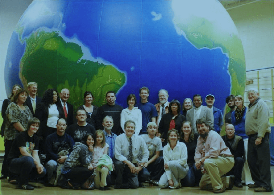
This week I am in Cincinnati, OH, scoring the AP Human Geography exams.  Many gathered together and shared some of their favorite classroom resources (Reader Resources:this 4-page document is a compilation of these suggestions).  Also you can find copies of the digital newsletters that are intended for the AP readers to know about the upcoming events.  

I also am teaching in Elmhurst College’s Graduate Certificate Program in Human Geography for AP.  They have recently announced some changes that will make it much more accessible and applicable for teachers.  They have added a Master’s Program in Applied Geospatial Sciences with Concentration in Human Geography as well as a non-credit (read, cheaper) option for the courses in the program as well.  Look into it!

Earthview APHG newsletter


China Turns To Africa For Resources, Jobs And Future Customers

See on Scoop.it – Geography Education

In China’s Second Continent, Howard French explores the Chinese presence in 15 African countries. The relationship goes beyond economics: more than a million Chinese citizens have migrated to Africa.

He says there’s a debate about the long-term consequences of China’s push into the African continent: Will it create development and prosperity, or will it lead to exploitation reminiscent of 19th-century European colonialism?


Tags: Africa, development, China, industry, economic, podcast.

Seth Dixon‘s insight:

This is an excellent podcast with many geographic strands running through it. 

See on www.npr.org

The Geography of Language

See on Scoop.it – Geography Education

“Over the course of human history, thousands of languages have developed from what was once a much smaller number. How did we end up with so many? And how do we keep track of them all? Alex Gendler explains how linguists group languages into language families, demonstrating how these linguistic trees give us crucial insights into the past.”

Seth Dixon‘s insight:

This TED-ED lesson is a quick primer into the geographic context of linguistic change and variability that we find all around the world. 

Tags: language, TED, regions, folk cultures, toponyms, historical, culture, diffusion.

See on www.youtube.com

Media regarding ESRI’s ArcGIS K-12 Donation

See on Scoop.it – Geography Education

ESRI CEO Jack Dangermond discusses strengthening and investing in stem education with Trish Regan on Bloomberg Television’s “Street Smart”. (Source: Bloomberg)

Seth Dixon‘s insight:

As announced earlier this week, ESRI will be donating ArcGIS organizational accounts to all K-12 schools in the United States, and here is a video of ESRI’s CEO Jack Dangermond explaining the importance of spatial thinking in STEM education.  President Obama referenced this donation during his speech at the White House’s Science Fair.  Currently many geography educators are planning new ways to use this to their advantage.  Explore what ArcGIS can do,  and consider how this might be a part of what you can do with your students (this article is a primer if you don’t know what ArcGIS is yet).  Click here to request an organizational account for your school.


Tags: mapping, GIS,  K12, ESRI, geospatial, edtech.

See on www.bloomberg.com

Trust me, I’m A Geographer

See on Scoop.it – Geography Education

“Let everyone know your love for being a Geographer with this special limited edition design.Only available for a LIMITED TIME, so get yours TODAY!”

Seth Dixon‘s insight:

I normally don’t share items that are for sale, since I don’t endorse products.  However, even if no one buys this t-shirt, I think this audience would be able to appreciate the message. 

See on teespring.com

NAFTA an empty basket for farmers in southern Mexico

See on Scoop.it – Geography Education

“When the agreement between the United States, Mexico and Canada went into effect in 1994, it removed nearly all trade barriers between the countries. Among the industries affected was agriculture, forcing small Mexican farmers into direct competition with big American agribusiness. Cheap American corn – heavily subsidized, mechanized and genetically modified – soon flooded the Mexican market to the detriment of local farmers.  As U.S. farmers exported their subsidized corn to Mexico, local producer prices plummeted and small farmers could no longer earn enough to live on.”

Seth Dixon‘s insight:

International trade agreements are usually discussed at the national level.  “NAFTA benefits Mexico” is a commonly heard saying because trade with the United States and Canada strengthens the manufacturing sector in Mexico.  Even if there is an overall benefit to a country, there are always winners and losers for different regions, economic sectors and many other demographic groups.   Farmers in southern Mexico were certainly a sector that struggled mightily under NAFTA.

Tags: Mexico, supranationalism, industry, place, agriculture, food production,

See on cronkitenewsonline.com

ArcGIS Organizational Accounts for K-12 schools

See on Scoop.it – Geography Education

Seth Dixon‘s insight:

This is a big announcement from ESRI, home of ArcGIS online and other geospatial tools.  They are making ArcGIS online organizational accounts free for all K-12 schools in the United States.  As ESRI spokespeople have said, “this will open up ArcGIS Online far beyond just a public account, by permitting more control of sharing, access to more data, engaging much more powerful analyses, supporting apps like Collector or Explorer, integrating with ArcMap and Microsoft Office, enabling login to Community Analyst, and lots more, with still more on the way.”  Click here to request an organizational account for your school. 


Tags: mapping, GIS,  K12, ESRI, geospatial, edtech.

See on connected.esri.com

Create a free website or blog at WordPress.com.

Up ↑