Search

GEOGRAPHY EDUCATION

Supporting geography educators everywhere with current digital resources.

Tag

conflict

2015 Saw a Decrease in Global Religious Freedom

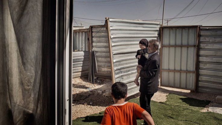
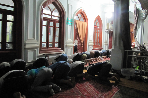
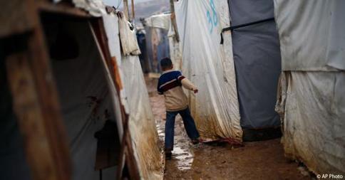
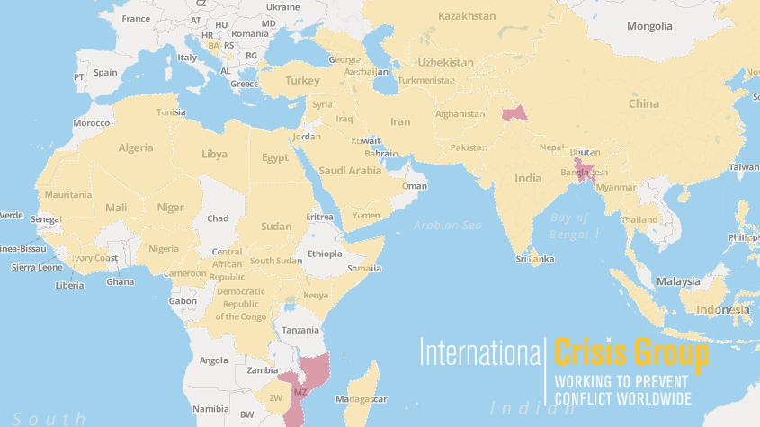
The global refugee crisis, political strife and economic dislocation all contributed to a worldwide deterioration of religious freedom in 2015 and an increase in societal intolerance, according to the U.S. Commission on International Religious Freedom.”

Source: www.npr.org

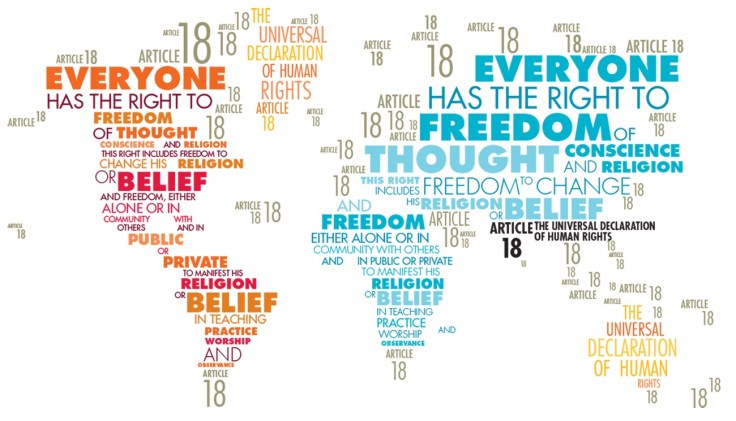
This is one of the sad results of the many global conflicts today and increase in reactionary political movements that scapegoat religious minorities.  The image above is a map/wordle of the 18th article of the Universal Declaration of Human Rights which states: “Everyone has the right to freedom of thought, conscience and religion; this right includes freedom to change his religion or belief, and freedom, either alone or in community with others and in public or private, to manifest his religion or belief in teaching, practice, worship and observance.”  


Tags: religion, ChristianityIslamBuddhismHinduismJudaism, podcastconflict, refugees.

The Toll in Gaza and Israel, Day by Day

The daily tally of rocket attacks, airstrikes and deaths in the conflict between Israel and Hamas.

Source: www.nytimes.com

As the violent nature of the Israeli Palestinian conflict has escalated, this NY Times article monitors the major points of the last few weeks.  The possibility of ‘Peace in the Middle East’ feels so remote, and this Onion article parodies the difficulties of actually achieving this.  On a personal note, Chad Emmett taught the “Geography of the Middle East” course while I was at BYU and I’ve always appreciated his perspective; here are his thoughts on recent events.  


Tags: Israel, Palestine, conflict, political, borders.

Refugee Camp for Syrians in Jordan Evolves as a Do-It-Yourself City

As the sprawling Zaatari camp evolves into an informal city — with an economy and even gentrification — aid workers say camps can be potential urban incubators that benefit host countries like Jordan.

Source: www.nytimes.com

This is an intriguing article that explores the difficulties of forced migrations that arise from civil war, but it also looks at city planning as refugee camps are established to make homes for the displaced.  These camps have become into de-facto cities. The maps, videos and photographs embedded in the article show the rapid development of these insta-cities which organically have evolved to fit the needs of incoming refugees.  Size not investing in permanent infrastructure has some serious social, sanitation and financial cost, there are some efforts to add structure to the chaos, to formalize the informal.  Truly this is a fascinating case study of in urban geography as we are increasingly living on what Mike Davis refers to as a “Planet of Slums.”  


Tags: refugees, migration, conflict, political, warsquatter, urban, planning, density, urbanism, unit 7 cities. 

Chinese Uyghurs defy Ramadan ban

“The government’s attempt to clamp down on religious expression has backfired among Uyghurs.”

Source: www.aljazeera.com

China has used various means to eliminate minority groups’ cultural identity, and human rights groups argue that this ban on Ramadan is no different (children and government employees are banned from fasting, allegedly for health and safety concerns).  Ethnic Uyghurs speak a Turkic language are more culturally connected to Cental Asia than East Asia.  Predominantly Muslim, the Uyghurs are defying some of the more controversial laws that they feel single them out.   


Tagsethnicityconflict, politicalreligion, China.

China publishes new map

China has published a new map of the entire country including the islands in the South China Sea (West Philippine Sea) in order to “better show” its territorial claim over the region.

Source: globalnation.inquirer.net

China is attempting to bolster its geopolitical claims through cartographic validation.  It as if to say, ‘it’s on a map, who can question that it is legitimately our territory?’  Why is a map such a powerful and convincing document?  Why is the Philippines upset by this map?  I think that explains this rival Filipino map as the Philippines and China engage in the cartographic version of dueling banjos.  (note the uage of the South China Sea or West Philippine Sea to refer to the same body of water) .  But this is more than just a map; it’s production has the potential to destabilize regional security.     

For more resources, the Choices Program has put together supplemental materials to investigate China on the world stage.

Tags: borderstoponyms, political, conflict, waterChina, East Asia.

Would Turkey accept a Kurdish state?

As the likelihood of an independent Kurdish state on Turkey’s eastern border grows, Ankara is losing its historical resistance to the idea.

Developments in Iraq have left Turkey facing the prospect of an independent Kurdish state on its eastern border. Such an idea would have been abhorrent for Turkey a mere decade ago for fear that its existence would incite separation among its own restive Kurds. The standard Turkish narrative at the time was that an independent Kurdistan was a Western project aimed at destroying Turkey, an age-old ambition. Even the 2003 US invasion of Iraq was viewed in this context by many. The picture is no longer so black and white.

Source: www.al-monitor.com

Five Things To Know on World Refugee Day

“There are more people displaced by violence and conflict on the planet right now than at any time since World War II.  The United Nations Refugee Agency (UNHCR) says the number of people forcibly displaced, including refugees, asylum-seekers, and internally displaced persons has now reached over 51 million.” 

Source: blogs.state.gov

From the difference between refugees and internally displaced people, to the gendered impact of refugees, this shines some light on the problems confronting refugees as well as on some of the solutions. 


Tags: refugees, migration, conflict, political, war.

Iraq’s Current Devolution

“A radical fringe Islamic group names ISIS is fighting to establish a extremist Islamic state in Iraq and Syria…and beyond. They control eastern Syria, western Iraq, just took control of Iraq’s 2nd largest city of Mosul and are advancing on the capital Baghdad.  In this podcast, the professor John Boyer outlines just a few of the contributing factors to why this significant event is taking place, the geographic/historic background of the state, and the consequences for the future of the region.”

Source: www.youtube.com

If you haven’t yet discovered John Boyer, a.k.a. the Plaid Avenger,  I recommend exploring his site.  He has numerous resources for world regional geography and current global affairs.  His colorful persona is highly entertaining for college age-students as his class attracts over 3,000 students each semester (you can decide for yourself whether that personality works for you and your classroom).  This particular ‘plaidcast’ discussion focuses on Iraq’s current devolution and possible total collapse. 

Tags: SyriaIraq, MiddleEast, conflict, political, geopoliticsborders, colonialism, devolution.

CrisisWatch: The Monthly Conflict Situation Report

Mapping global conflict month by month.

Source: crisisgroup.be

You and your students can browse through this interactive map for an update on conflict situations around the world.  The International Crisis Group is an independent, non-profit, non-governmental organization committed to preventing and resolving deadly conflict; they’ve created this interactive map to help us stay informed about the most important conflict issues around the world.  I’m placing this on my list of favorite resources as this is one worth returning to on a regular basis.

Tagsconflict, political, geopolitics, best of the best.

CrisisMap

Create a free website or blog at WordPress.com.

Up ↑