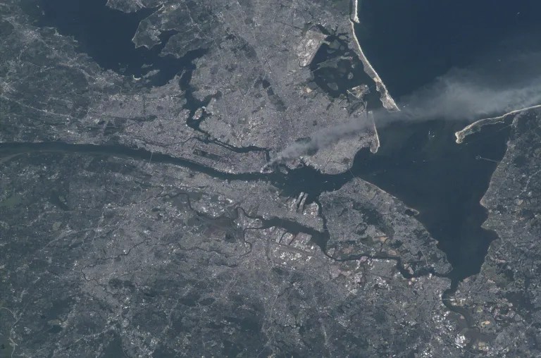
College students today think about 9/11 the same way I did when hearing about allied forces storming the beaches of Normandy in 1944. They know it happened, but it feels like it happened generations ago and feels disconnected from their lives. Part of making geography relevant in a social studies/history context, is try to place history in its geographic context.
We often share the personal stories of heroism or loss to make the events of 9/11 more poignant. This image from space is but one of many maps, pictures, and videos that puts the events of 9/11 into a wider frame of analysis, to see a larger impact. This satellite image gives us a “bird’s eye view” in a way that highlights the extent of the chaos to more than just the destruction at Ground Zero. The billowing smoke is just one indicator of aspect of damage.



 GEOGRAPHY EDUCATION
Leave a comment