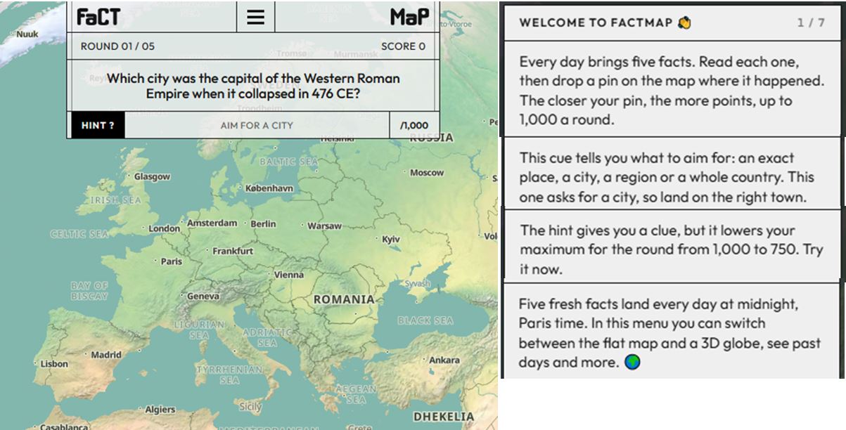
I love games that include a mapping component, so FactMap is a very fun new option that I just found. Everyday you get 5 trivia questions that have a correct answer that can be places on the map. Usually down to the city-level, but a few are on the country scale. It is not strictly geographic and historical trivia, so there is a wider range of options. Need some other geography/map games? Below are some good one.
GEOGUESSR recap: Geoquessr will display 5 locations in GoogleMaps “StreetView” and you have to guess where the images are located. You can pan and zoom in the StreetView to explore the landscape and find more context clues as to where that location is. It is a fantastic exploration exercise with many other modes, games and challenges. Guess Where You Are is a knock-off version of Geoguessr without the communal/gaming aspects.
TIMEGUESSR recap: Timeguessr is a great spin on the classic question, where are we? This game ask where we are we, but also WHEN are we? Where and when was the given photo taken? I enjoy the Daily 5 pictures from TimeGuessr. When Taken is another game with this same premise.
GEOGRIDGAME recap: No map, but a 3×3 grid where you need to populate the grid with countries that fit the different criteria. For example, In the vertical column you have the category “countries with a population under 10 million” and in the horizontal row, you have “coastline, with under 10,000 km.” Your goal is to fill the grid, with as rare an answer as possible.
TRAVLE recap: Travle names two random countries, and you have to draw the most direct land route between the countries with the goal of minimizing the number of states, not essentially the miles.
COUNTRYLE recap: This is the one that relies most on geographic information since the hints are focus on real data. You guess any country, and the hints will tell you if the actual mystery country has a larger or smaller population, a warmer or colder climate…so that is the guesses aren’t just based on luck or hunches, but some evaluation.
WORLDLE recap: Worldle (not misspelled, but the two L’s are a mouthful). This one shows an outline of the a given country and will tell you the distance away from the actual country to help inform further guesses. The better you know the world map, the less “guessing” there is, but still fun.
Seterra (owned by Geoguessr) has many map-based quizzes to teach you more about the coutnries, cities, flags, etc around the world.




Leave a Reply