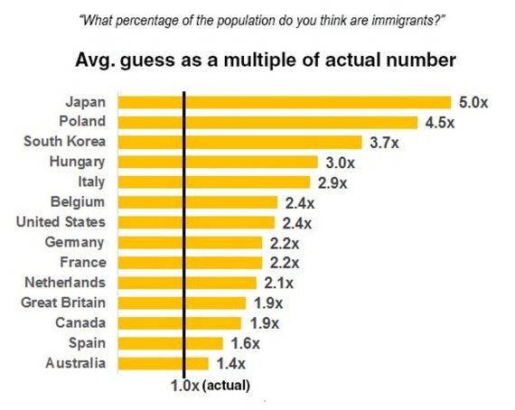
In developed countries around the world, people think immigrant populations are much larger than they actually are.
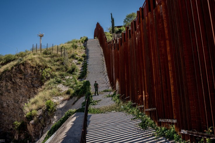
Americans consistently mention immigration as one of the nation’s most pressing political concerns, and it has become a signature issue in the presidential campaign. But while many Americans consider immigration one of the biggest issues for the future president, surveys suggest that they also have little understanding of the scale of the problem. The United States wasn’t alone in this tendency to exaggerate.
Tags: migration, statistics, political.
Source: www.weforum.org