Search

GEOGRAPHY EDUCATION

Supporting geography educators everywhere with current digital resources.

Tag

political

ISIS and the U.S. Presidential Election

The United States is already taking some steps to roll back the Islamic State (ISIS) and restrict its resources and recruits, including airstrikes, armin

Source: www.youtube.com

This is a non-partisan post and a video that is fairly balanced; this video nicely lays out some of the cultural and political factors that the next president of the United States should consider when crafting foreign policy in the especially problematic Middle East.  


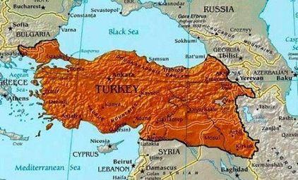
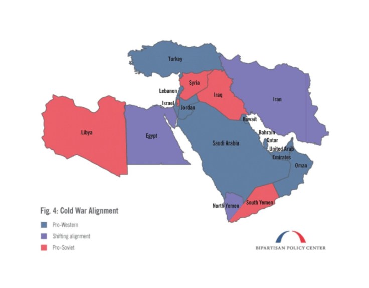
Tags: Syria, war, conflict, political, geopolitics, Iraq, devolution, terrorism, ISISMiddle East.

Election maps are telling you big lies about small things

In 2012, 160 counties cast about the same number of votes as the rest of the country. But, your run-of-the-mill election map won’t show you that.

Source: www.washingtonpost.com

This is nothing new to most visitors to this site, but every four years we have a wonderful teaching moment to show how population density can change our interpretation of a map and the meaning of the data embedded in that map.  I preparation for next week, this article for the Washington Post as well as this one from the New York Times should help get students be better prepared for the onslaught of maps that we know are right around the corner, to properly assess and contextualize the geographic content in these maps.     


Tags: electoral, political, mapping.

Why you’re probably wrong about levels of immigration in your country

In developed countries around the world, people think immigrant populations are much larger than they actually are.


Americans consistently mention immigration as one of the nation’s most pressing political concerns, and it has become a signature issue in the presidential campaign. But while many Americans consider immigration one of the biggest issues for the future president, surveys suggest that they also have little understanding of the scale of the problem. The United States wasn’t alone in this tendency to exaggerate.


Tags: migrationstatistics, political.

Source: www.weforum.org

Germany reunified 26 years ago, but some divisions are still strong

“While 75 percent of Germans who live in the east said that they considered their country’s reunification a success, only half of western Germans agreed. With eastern and western Germans blaming each other for past mistakes over the past two years, that frustration has likely increased. Younger citizens, especially — who do not usually identify themselves with their area of origin as strongly anymore — have grown worried about the persistent skepticism on both sides. But where do those divisions come from? And how different are eastern and western Germany today?”

Source: www.washingtonpost.com

This series of 10 maps (and 1 satellite image) highlights many of the cultural and economic divisions between East and West, despite efforts to in the last 26 years to smooth out these discrepancies. The social geographies imposed by the Iron Curtain and the Berlin Wall are still being felt from this relic border and will for years to come. 


Tags: Germany, industry, laboreconomichistorical, politicalborders.

Who Likes Whom in The Middle East? Key players & Notable relationships

An interactive network visualisation of key players & notable relationships in the Middle East region. Continually updated. Awesome looking.

Source: www.informationisbeautiful.net

News flash:the Middle East is complicated.  In a region where the enemy of an enemy can be your friend, keeping track of local, regional, and global interests can be a staggering proposition.  This flow chart is both incredibly complex, but also aids the user in making sense of the relationships that help to define the region.  


Tags: MiddleEast, conflict, political, geopoliticsregions.

Turkey’s New Maps Are Reclaiming the Ottoman Empire

Erdogan’s aggressive nationalism is now spilling over Turkey’s borders, grabbing land in Greece and Iraq.


In the past few weeks, a conflict between Ankara and Baghdad over Turkey’s role in the liberation of Mosul has precipitated an alarming burst of Turkish irredentism. President Erdogan criticized the Treaty of Lausanne, which created the borders of modern Turkey, for leaving the country too small. Turkey won’t be annexing part of Iraq anytime soon, but this combination of irredentist cartography and rhetoric nonetheless offers some insight into Turkey’s current foreign and domestic policies and Ankara’s self-image.  The military interventions and confrontational rhetoric this nationalism inspires may worsen Turkey’s security and regional standing.


Tags: political, irredentism, culture, Turkeyhistorical, bordersempire, geopolitics.

Source: www.yahoo.com

Four maps that explain the chaos of the Middle East

“Without trying to defend or absolve U.S. policy, then, it is worth stepping back to ask what shared historical experiences might have left these four countries — Iraq, Syria, Libya and Yemen — particularly at risk of violent collapse. The following maps help highlight how, at various points over the past century, historical circumstances conspired, in an often self-reinforcing way, to bolster the stability of some states in the region while undermining that of others.”

Source: www.washingtonpost.com

These maps are not cartographically inspiring, but the it’s the historical and political insight that makes them valuable. The goal of this set of maps is to find some underlying causal reasons for political stability(or more importantly instability) in the Middle East. These four maps focus on these key issues:

1. Century-old states are more stable today

2. Colonial rule led to fragile states

3. Instability and regime change

4. The shadow of the Cold War


Tags: MiddleEast, war, conflict, political, geopoliticshistorical.

What This 2012 Map Tells Us About America, and the Election

History, race, religion, identity, geography: The 2012 election county-level map has many stories to tell, including about the 2016 race.

Source: www.nytimes.com

The coverage of this election feels less objective than in past years (maybe that’s just my perception, but that is why I’ve shared less electoral resources than in past years).  This article show’s good map analysis and electoral patterns without much of any ideological or partisan analysis of the political platforms.  


Tags: electoral, political, mapping.

‘The Wall Is a Fantasy’

A week in the borderlands with migrants and guards.

Source: www.nytimes.com

This is not a political statement but a reiteration of the geographic realities of borders; they are inherently permeable and unite people just as much as they divide. 


Tags: Mexico, borders, political.   

Create a free website or blog at WordPress.com.

Up ↑